UN/LOCODE hub · Indonesia
IDKGT

Karangjati (Kodya Salatiga)

-7.2667°, 110.5667°
1
Transport functions

Transport Functions

Multimodal
UN/LOCODE

Hub Profile

Region
JT
GeoNames

Location

Location of IDKGT
Natural Earth 10m (public domain) · JT · IDKGT · -7.27, 110.57GoogleOSMYandex

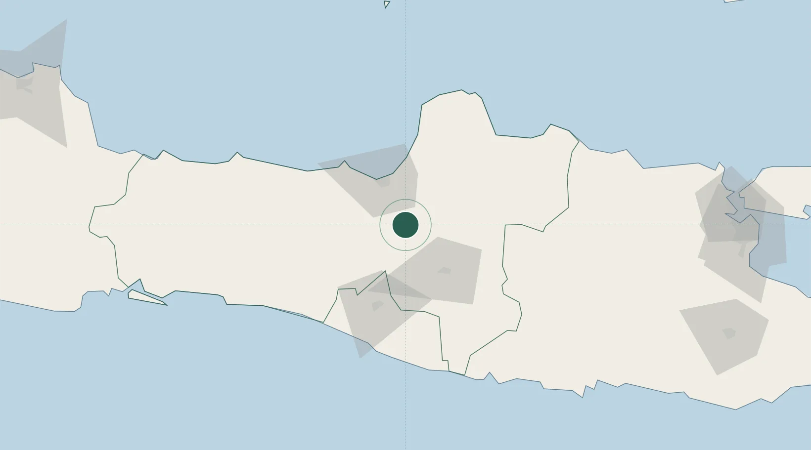
Nearby Logistics Neighbours

Cities
  1. 1Tawangsari3 km
  2. 2Semarang39 km
  3. 3Demak43 km
  4. 4Temanggung44 km
  5. 5Klaten48 km
Nearest neighbours — logibook spatial index (haversine) over the source coordinates
Ports
  1. 1Semarang39 km
  2. 2Pekalongan106 km
  3. 3Rembang107 km
  4. 4Tegal165 km
  5. 5Cilacap180 km
Nearest neighbours — logibook spatial index (haversine) over the source coordinates
Airports
  1. 1Adisumarmo Airport35 km
  2. 2Jenderal Ahmad Yani Airport39 km
  3. 3Adisutjipto International Airport60 km
  4. 4Yogyakarta International Airport91 km
  5. 5Dhoho International Airport161 km
Nearest neighbours — logibook spatial index (haversine) over the source coordinates
Trade Zones
  1. 1Bukit Semarang Baru Industrial Park36 km
  2. 2Terboyo Industrial Estate37 km
  3. 3Jatengland Industrial Park Sayung38 km
  4. 4Candi Industrial Estate39 km
  5. 5Tanjung Emas Export Processing Zone39 km
Nearest neighbours — logibook spatial index (haversine) over the source coordinates
DatabookThe Record of Consolidated Knowledge
Indonesia beyond logistics?
Browse databook

All Sources

LocationsUN/LOCODE
UN/LOCODE — free
Portsthe NGA World Port Index
Public domain (US gov)
AirportsOurAirports
Public domain
Trade Zonesthe World Bank SEZ database
CC BY 4.0
Trade ZonesOpen Zone Map
CC BY
← Indonesia locations