Transport Functions
Multimodal
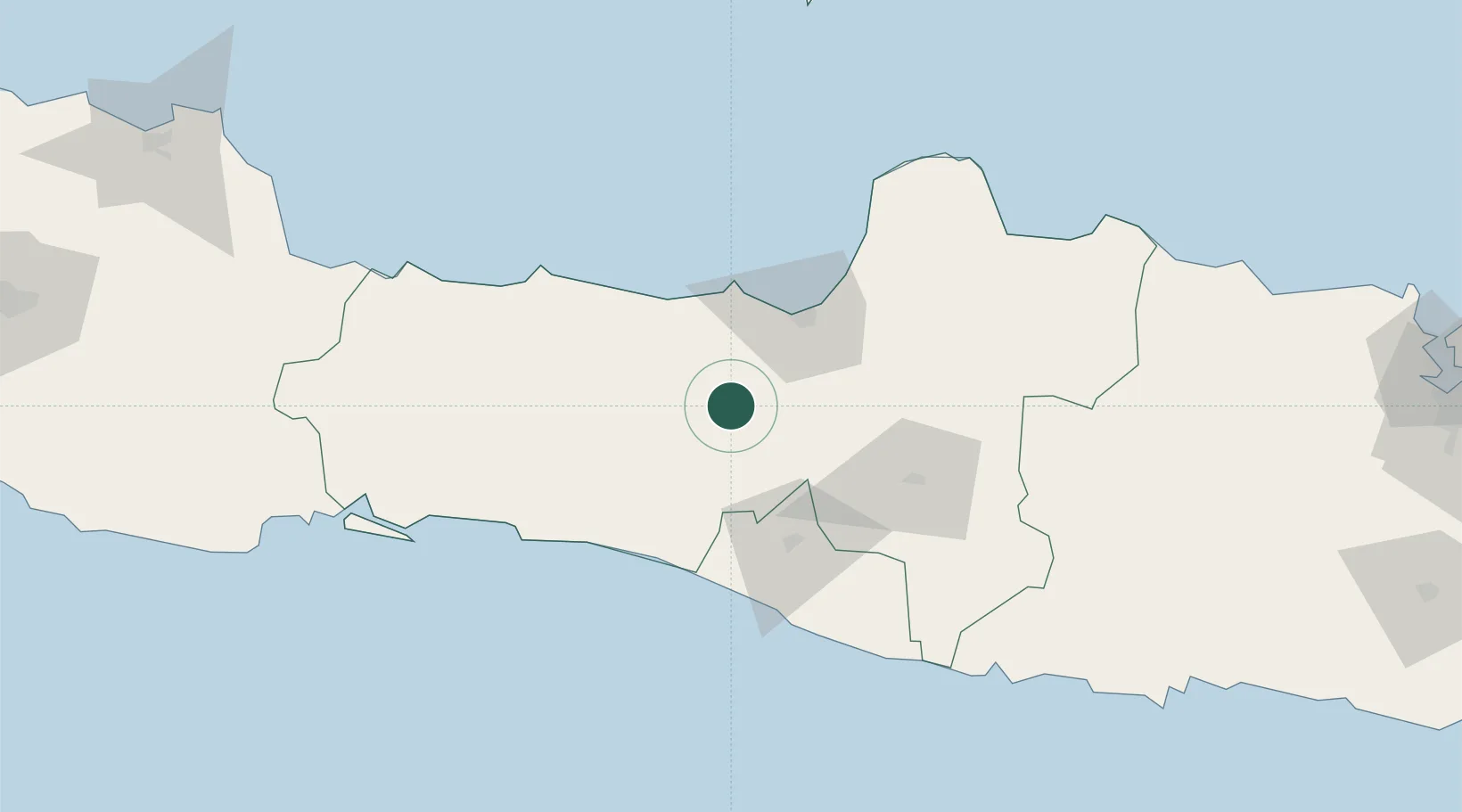
Hub Profile
Place type
Provincial seat
Region
Central Java
Time zone
Asia/Jakarta
Elevation
556 m
Location
Nearby Logistics Neighbours
Cities
- 1Wonosobo30 km
- 2Tawangsari42 km
- 3Karangjati (Kodya Salatiga)44 km
- 4Semarang47 km
- 5Krapyak55 km
Ports
- 1Semarang48 km
- 2Pekalongan72 km
- 3Tegal125 km
- 4Cilacap137 km
- 5Rembang147 km
Airports
Trade Zones
DatabookThe Record of Consolidated Knowledge
Indonesia beyond logistics?