Diversified Zone · Indonesia

Terboyo Industrial Estate Active
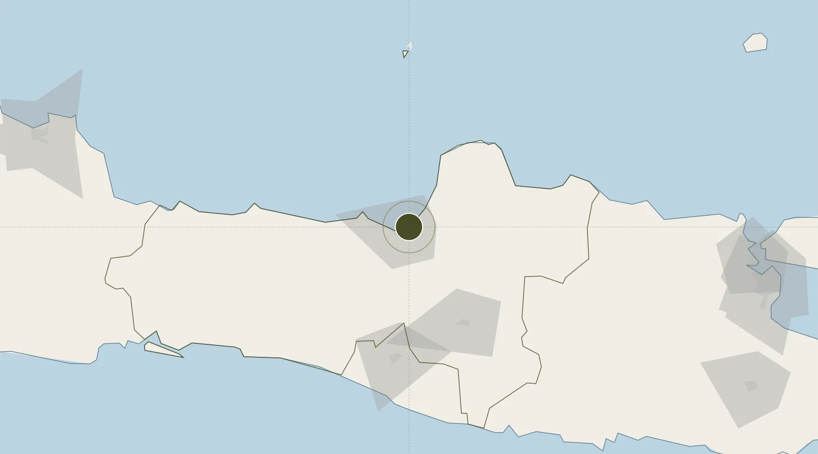
-6.9527°, 110.4704°
300 ha
Zone area
5.9 km
Nearest port
10.9 km
Nearest airport

Gateway access

Nearest neighbours — logibook spatial index (haversine) over the source coordinates

Zone profile

Zone type
Diversified Zone
Open Zone Map
Region
Jawa Tengah
Open Zone Map
Status
Active
Open Zone Map
Management
Public-Private Partnership
Open Zone Map
Operator
PT Merdeka Wirastama
Open Zone Map
Legal framework
The Law No 3. Article 106, issued in 2014
Open Zone Map

Location

Location of ozm-2365
Natural Earth 10m (public domain) · Jawa Tengah · ozm-2365 · -6.95, 110.47GoogleOSMYandex

Nearby Logistics Neighbours

Ports
  1. 1Semarang6 km
  2. 2Pekalongan86 km
  3. 3Rembang101 km
  4. 4Tegal148 km
  5. 5Cilacap184 km
Nearest neighbours — logibook spatial index (haversine) over the source coordinates
Airports
  1. 1Jenderal Ahmad Yani Airport11 km
  2. 2Adisumarmo Airport70 km
  3. 3Adisutjipto International Airport93 km
  4. 4Yogyakarta International Airport115 km
  5. 5Dewadaru Airport128 km
Nearest neighbours — logibook spatial index (haversine) over the source coordinates
Cities
  1. 1Semarang6 km
  2. 2Demak20 km
  3. 3Karangjati (Kodya Salatiga)37 km
  4. 4Tawangsari38 km
  5. 5Jepara46 km
Nearest neighbours — logibook spatial index (haversine) over the source coordinates
Trade Zones
  1. 1Tanjung Emas Export Processing Zone5 km
  2. 2Candi Industrial Estate9 km
  3. 3Jatengland Industrial Park Sayung9 km
  4. 4Wijayakusuma Industrial Estate15 km
  5. 5Bukit Semarang Baru Industrial Park19 km
Nearest neighbours — logibook spatial index (haversine) over the source coordinates
DatabookThe Record of Consolidated Knowledge
Indonesia beyond logistics?
Browse databook

All Sources

Trade ZonesOpen Zone Map
CC BY
Portsthe NGA World Port Index
Public domain (US gov)
AirportsOurAirports
Public domain
LocationsUN/LOCODE
UN/LOCODE — free
← Indonesia trade zones