Diversified Zone · Indonesia

Candi Industrial Estate Under Development
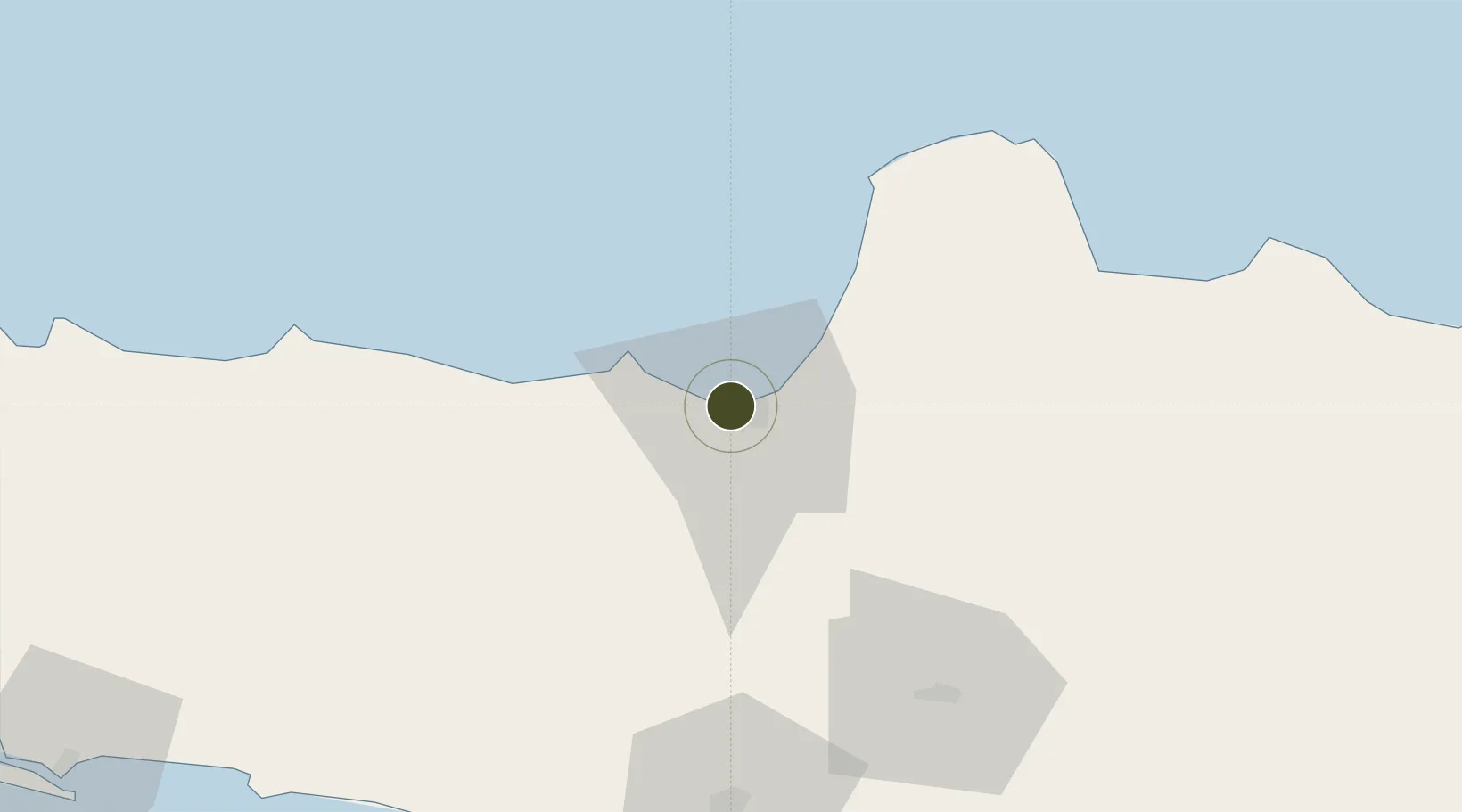
-6.9691°, 110.3888°
450 ha
Zone area
3.7 km
Nearest port
1.7 km
Nearest airport

Gateway access

Nearest neighbours — logibook spatial index (haversine) over the source coordinates

Zone profile

Zone type
Diversified Zone
Open Zone Map
Region
Jawa Tengah
Open Zone Map
Status
Under Development
Open Zone Map
Management
Public-Private Partnership
Open Zone Map
Operator
PT lndo Perkasa Usahatama
Open Zone Map
Legal framework
The Law No 3. Article 106, issued in 2014
Open Zone Map

Location

Location of ozm-2377
Natural Earth 10m (public domain) · Jawa Tengah · ozm-2377 · -6.97, 110.39GoogleOSMYandex

Nearby Logistics Neighbours

Ports
  1. 1Semarang4 km
  2. 2Pekalongan77 km
  3. 3Rembang110 km
  4. 4Tegal139 km
  5. 5Cilacap175 km
Nearest neighbours — logibook spatial index (haversine) over the source coordinates
Airports
  1. 1Jenderal Ahmad Yani Airport2 km
  2. 2Adisumarmo Airport73 km
  3. 3Adisutjipto International Airport91 km
  4. 4Yogyakarta International Airport110 km
  5. 5Dewadaru Airport130 km
Nearest neighbours — logibook spatial index (haversine) over the source coordinates
Cities
  1. 1Semarang3 km
  2. 2Demak29 km
  3. 3Karangjati (Kodya Salatiga)39 km
  4. 4Tawangsari39 km
  5. 5Temanggung44 km
Nearest neighbours — logibook spatial index (haversine) over the source coordinates
Trade Zones
  1. 1Tanjung Emas Export Processing Zone5 km
  2. 2Wijayakusuma Industrial Estate6 km
  3. 3Terboyo Industrial Estate9 km
  4. 4Bukit Semarang Baru Industrial Park11 km
  5. 5KEK Kendal16 km
Nearest neighbours — logibook spatial index (haversine) over the source coordinates
DatabookThe Record of Consolidated Knowledge
Indonesia beyond logistics?
Browse databook

All Sources

Trade ZonesOpen Zone Map
CC BY
Portsthe NGA World Port Index
Public domain (US gov)
AirportsOurAirports
Public domain
LocationsUN/LOCODE
UN/LOCODE — free
← Indonesia trade zones