UN/LOCODE hub · Indonesia
IDKSO

Kalbut Situbondo

-7.6167°, 113.8833°
3
Transport functions

Transport Functions

Port
Road
Fixed Transport
UN/LOCODE

Hub Profile

Region
JI
GeoNames

Location

Location of IDKSO
Natural Earth 10m (public domain) · JI · IDKSO · -7.62, 113.88GoogleOSMYandex

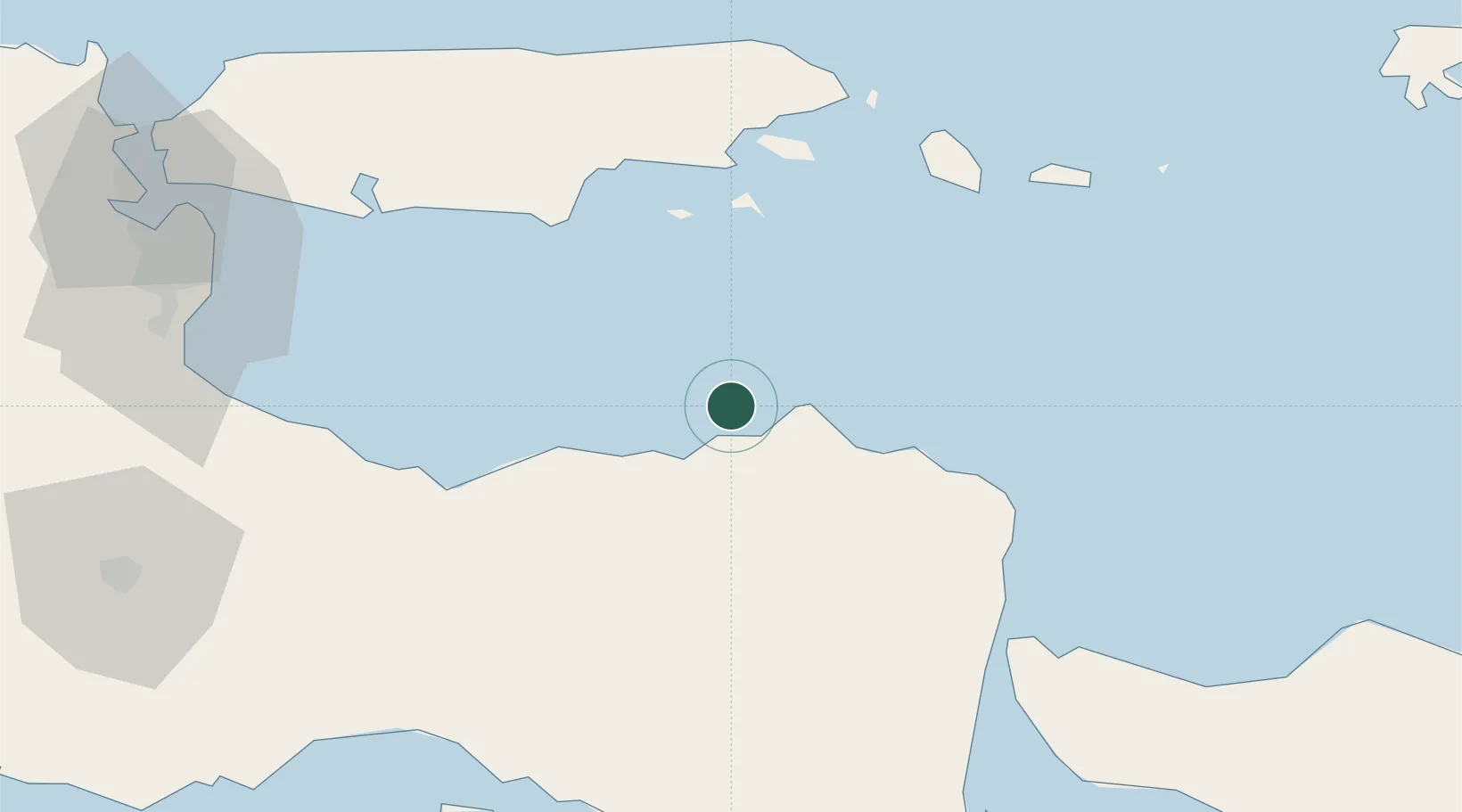
Nearby Logistics Neighbours

Cities
  1. 1Sumenep63 km
  2. 2Banyuwangi83 km
  3. 3Pasuruan, Java108 km
  4. 4Jembrana119 km
  5. 5Purwosari128 km
Nearest neighbours — logibook spatial index (haversine) over the source coordinates
Ports
  1. 1Panarukan11 km
  2. 2Probolinggo74 km
  3. 3Celukan Bawang122 km
  4. 4Surabaya135 km
  5. 5Gresik146 km
Nearest neighbours — logibook spatial index (haversine) over the source coordinates
Airports
  1. 1Notohadinegoro Airport73 km
  2. 2Banyuwangi Airport92 km
  3. 3Lieutenant Colonel Wisnu Airfield99 km
  4. 4Juanda International Airport124 km
  5. 5Abdul Rachman Saleh Airport133 km
Nearest neighbours — logibook spatial index (haversine) over the source coordinates
Trade Zones
  1. 1Pasuruan Industrial Estate Rembang117 km
  2. 2Safe N Lock Industrial Estate126 km
  3. 3Surabaya Industrial Estate - Rungkut128 km
  4. 4Pulahan Seruai Industrial Estate135 km
  5. 5Ngoro Industrial Park140 km
Nearest neighbours — logibook spatial index (haversine) over the source coordinates
DatabookThe Record of Consolidated Knowledge
Indonesia beyond logistics?
Browse databook

All Sources

LocationsUN/LOCODE
UN/LOCODE — free
Portsthe NGA World Port Index
Public domain (US gov)
AirportsOurAirports
Public domain
Trade Zonesthe World Bank SEZ database
CC BY 4.0
Trade ZonesOpen Zone Map
CC BY
← Indonesia locations