Seaport · Indonesia
PalembangIDPLM
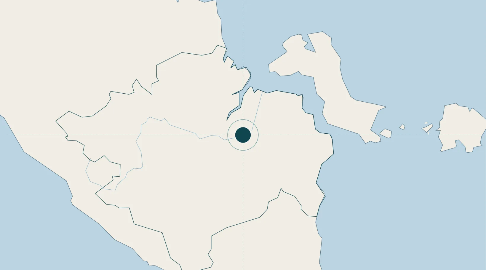
-2.9833°, 104.7667°
3.4 m
Channel depth
1
Container terminals
20.0
Port liner connectivity
Channel & Berth Profile
Pilotage, Tugs & Services
Pilotage compulsoryYES
Pilotage advisableYES
Local assistanceYES
Tug assistanceYES
Potable waterYES
Diesel bunkersYES
MedicalYES
Facilities & Capabilities
Container—
Ro-Ro—
Liquid bulk—
Dry bulk—
Oil terminal—
Break bulk—
Dry dockNO
RepairsNO
BunkeringYES
Rail linkYES
Dangerous cargo—
ISPS security—
Harbour Specifications
Harbour size
Medium
Harbour type
River (Natural)
Shelter
Excellent
Water body
Natuna Sea; South China Sea; South Pacific Ocean
Tidal range
1 m
Overhead limit
Yes
Pilotage
Yes
Liner Connectivity
20
PLSCI
Port Liner Shipping Connectivity Index for Palembang, as published by UNCTAD for the latest available quarter. Higher values indicate stronger scheduled liner-shipping integration.
Shown relative to the highest per-port PLSCI in the dataset (1,657.9).
Location
Container Terminals · 1
TERMINAL PETIKEMAS PALEMBANG BOOM BARU
BOOMBA PELINDO II
Nearby Logistics Neighbours
Ports
- 1Sungaigerong7 km
- 2Muntok111 km
- 3Pangkalpinang180 km
- 4Toboali187 km
- 5Blinyu188 km
Cities
- 1Plaju, Sumatra4 km
- 2Exspan138 km
- 3Serdang188 km
- 4Toboali193 km
- 5Jambi, Sumatra200 km
Airports
- 1Sultan Mahmud Badaruddin II Airport12 km
- 2Pendopo Airport104 km
- 3Depati Amir Airport178 km
- 4Sultan Thaha Airport195 km
- 5Radin Inten II International Airport256 km
Trade Zones
DatabookThe Record of Consolidated Knowledge
Indonesia beyond logistics?