Transport Functions
Port
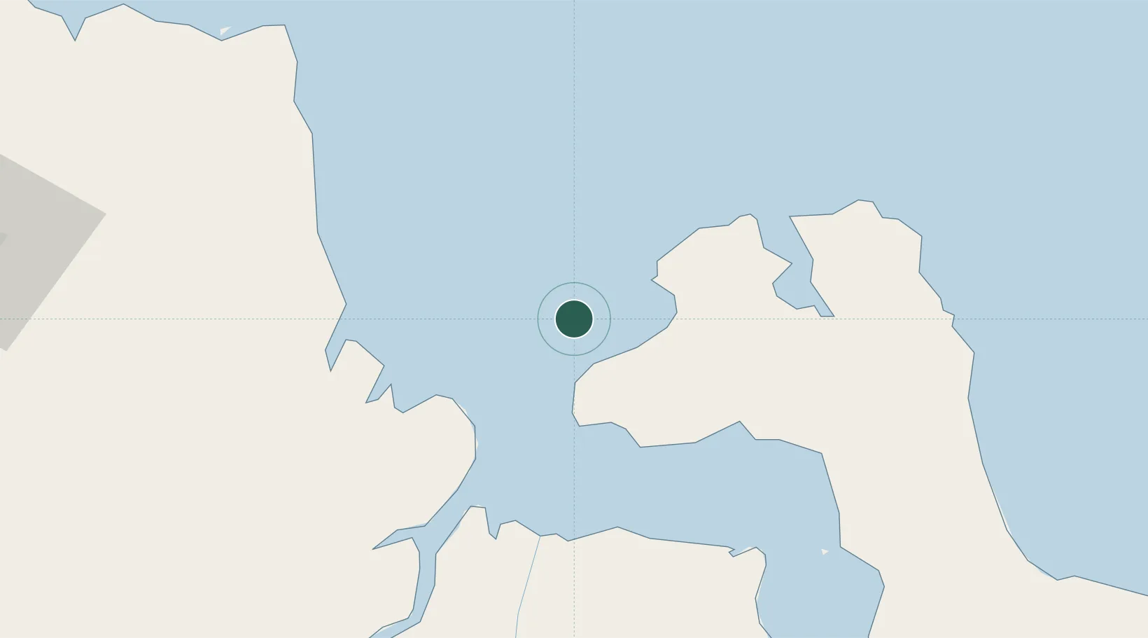
Location
Nearby Logistics Neighbours
Cities
- 1Tanjung Uban130 km
- 2Palembang, Sumatra136 km
- 3Plaju, Sumatra137 km
- 4Jabung Terminal156 km
- 5Dabo, Singkep Isl158 km
Ports
- 1Muntok30 km
- 2Blinyu75 km
- 3Pangkalpinang117 km
- 4Sungaigerong136 km
- 5Palembang138 km
Airports
- 1Depati Amir Airport119 km
- 2Sultan Mahmud Badaruddin II Airport131 km
- 3Sultan Thaha Airport166 km
- 4Pendopo Airport216 km
- 5H A S Hanandjoeddin International Airport310 km
Trade Zones
- 1Tanjung Api-api Special Economic Zone74 km
- 2KEK Tanjung Kelayang293 km
- 3KEK Galang Batang306 km
- 4Bintan Industrial Estate327 km
- 5Karimun Free Trade Zone332 km
DatabookThe Record of Consolidated Knowledge
Indonesia beyond logistics?