Small airport · Indonesia
Sultan Thaha AirportWIPA
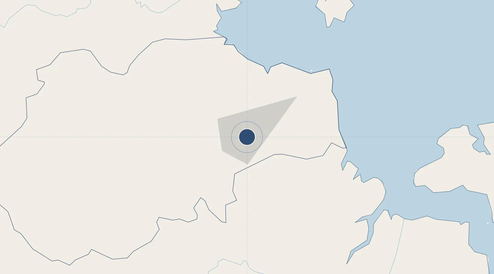
-1.6387°, 103.6451°
8,537 ft
Longest runway
1
Runways
82 ft
Elevation
Runway & Layout

Radio Frequencies
TWR
118.4 MHz
THAHA TWR
Runways · 1
| Runway | Dimensions | Surface | True heading | Lit |
|---|---|---|---|---|
| 13/31 | 8,537 × 148ft | Asphalt | 130° | ✓ |
Airport Specifications
IATA code
DJB
ICAO code
WIJJ
Airport class
Small airport
Scheduled service
Yes
Runway surface
Asphalt
Served city
Jambi
Location
Nearby Logistics Neighbours
Airports
- 1Muara Bungo Airport163 km
- 2Sultan Mahmud Badaruddin II Airport182 km
- 3Pendopo Airport185 km
- 4Japura Airport204 km
- 5Departi Parbo Airport247 km
Cities
- 1Jambi, Sumatra8 km
- 2Kampung Laut84 km
- 3Tanjung Uban93 km
- 4Jabung Terminal96 km
- 5Muara Sabak98 km
Ports
- 1Jabung Batanghari Marine Terminal93 km
- 2Dabo163 km
- 3Muntok176 km
- 4Palembang195 km
- 5Sungaigerong200 km
Trade Zones
- 1Tanjung Api-api Special Economic Zone156 km
- 2Karimun Free Trade Zone258 km
- 3Latrade Industrial Park301 km
- 4Bintan Industrial Estate302 km
- 5Batamindo Industrial Park303 km
DatabookThe Record of Consolidated Knowledge
Indonesia beyond logistics?