UN/LOCODE hub · Indonesia
IDDJB
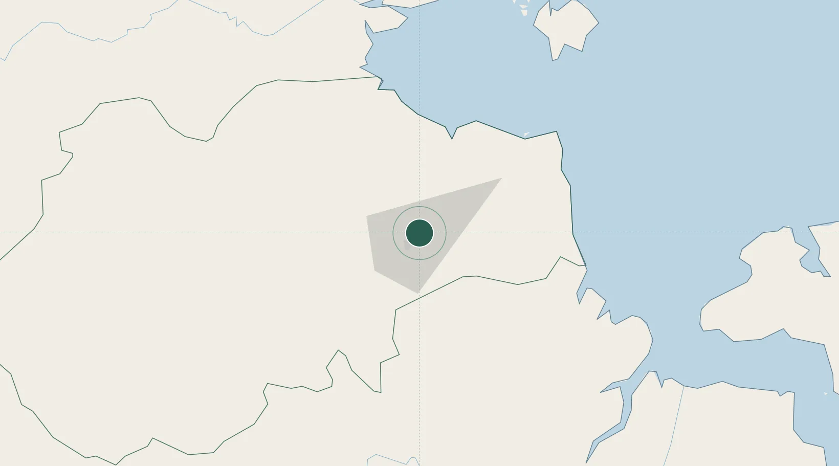
Jambi, Sumatra
-1.5657°, 103.6592°
2
Transport functions
1
Container terminals
Transport Functions
Port
Airport
Hub Profile
Logistics facilities
8
Container terminals
1
Location
Nearby Logistics Neighbours
Cities
- 1Kampung Laut76 km
- 2Tanjung Uban86 km
- 3Jabung Terminal88 km
- 4Muara Sabak90 km
- 5Kuala Enok118 km
Ports
- 1Jabung Batanghari Marine Terminal85 km
- 2Dabo156 km
- 3Muntok177 km
- 4Palembang200 km
- 5Sungaigerong205 km
Airports
- 1Sultan Thaha Airport8 km
- 2Muara Bungo Airport164 km
- 3Sultan Mahmud Badaruddin II Airport188 km
- 4Pendopo Airport193 km
- 5Japura Airport200 km
Trade Zones
- 1Tanjung Api-api Special Economic Zone159 km
- 2Karimun Free Trade Zone250 km
- 3Latrade Industrial Park292 km
- 4Bintan Industrial Estate294 km
- 5Batamindo Industrial Park295 km
DatabookThe Record of Consolidated Knowledge
Indonesia beyond logistics?