Medium airport · Indonesia
Rendani AirportWASR
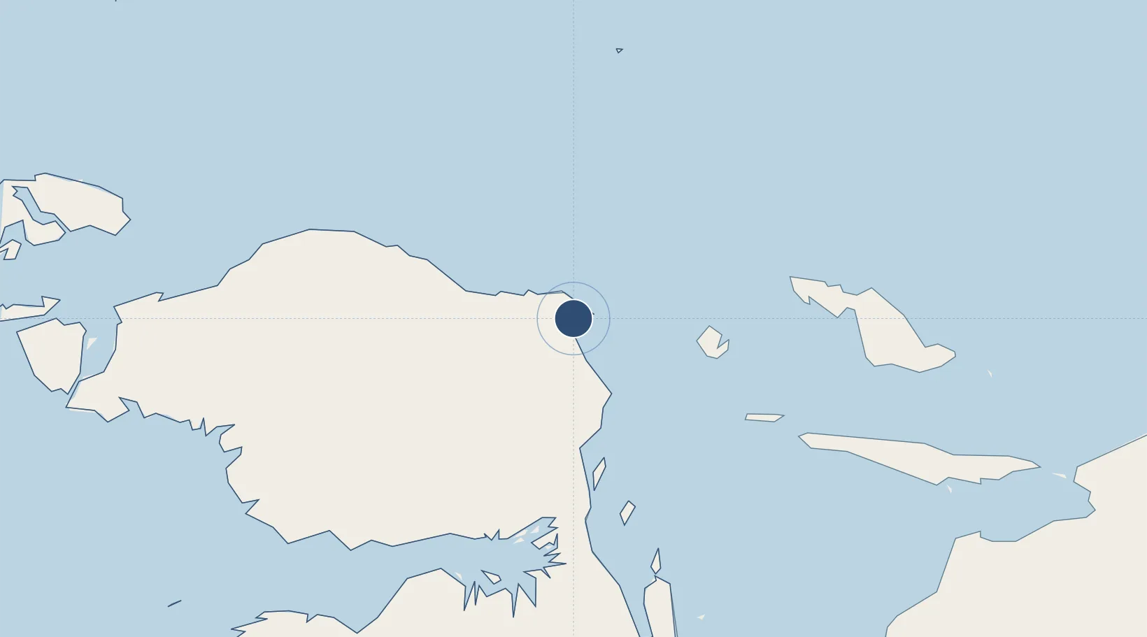
-0.8918°, 134.0490°
6,562 ft
Longest runway
1
Runways
23 ft
Elevation
Runway & Layout

Radio Frequencies
AFIS
122.2 MHz
INFO
Runways · 1
| Runway | Dimensions | Surface | True heading | Lit |
|---|---|---|---|---|
| 17/35 | 6,562 × 148ft | Asphalt | 178° | — |
Airport Specifications
IATA code
MKW
ICAO code
WAUU
Airport class
Medium airport
Scheduled service
Yes
Runway surface
Asphalt
Served city
Manokwari
Location
Nearby Logistics Neighbours
Airports
- 1Babo Airport195 km
- 2Werur Airport213 km
- 3Frans Kaisiepo Airport231 km
- 4Stevanus Rumbewas Airport247 km
- 5Fakfak Airport300 km
Cities
- 1Oransbari56 km
- 2Mapia Island200 km
- 3Inanwatan251 km
- 4Kokas270 km
- 5Sorong312 km
Ports
- 1Manokwari Road5 km
- 2Fakfak300 km
- 3Kasim Terminal340 km
- 4Salawati345 km
- 5Bula465 km
Trade Zones
- 1KEK Sorong312 km
- 2KEK Morotai722 km
- 3Vanimo Special Economic Zone829 km
- 4Sandaun Special Economic Zone838 km
- 5Sepik Special Economic Zone916 km
DatabookThe Record of Consolidated Knowledge
Indonesia beyond logistics?