Medium airport · Indonesia
Frans Kaisiepo AirportWABB
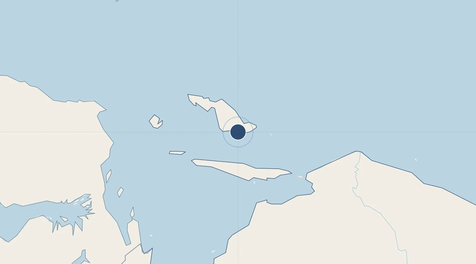
-1.1900°, 136.1080°
11,715 ft
Longest runway
1
Runways
46 ft
Elevation
Runway & Layout

Radio Frequencies
ATIS
126.5 MHz
TWR
118.1 MHz
APP
121.2 MHz
BIAK APP
INFO
295.6 MHz
BIAK INFO
Navaids
BIK VOR-DME Biak 112.50 MHz
ZM NDB Biak 230 kHz
Runways · 1
| Runway | Dimensions | Surface | True heading | Lit |
|---|---|---|---|---|
| 11/29 | 11,715 × 150ft | Asphalt | 109° | ✓ |
Airport Specifications
IATA code
BIK
ICAO code
WABB
Airport class
Medium airport
Scheduled service
Yes
Runway surface
Asphalt
Served city
Biak
Location
Nearby Logistics Neighbours
Airports
- 1Stevanus Rumbewas Airport71 km
- 2Rendani Airport231 km
- 3Old Nabire Airport252 km
- 4Douw Aturure Airport258 km
- 5Bilorai Airport302 km
Cities
- 1Oransbari206 km
- 2Mapia Island305 km
- 3Timika399 km
- 4Pomako408 km
- 5Kokas442 km
Ports
- 1Manokwari Road228 km
- 2Amamapare414 km
- 3Fakfak467 km
- 4Kasim Terminal566 km
- 5Salawati570 km
Trade Zones
- 1KEK Sorong541 km
- 2Vanimo Special Economic Zone599 km
- 3Sandaun Special Economic Zone619 km
- 4Sepik Special Economic Zone694 km
- 5Western Province Special Economic Zone776 km
DatabookThe Record of Consolidated Knowledge
Indonesia beyond logistics?