Transport Functions
Rail
Road
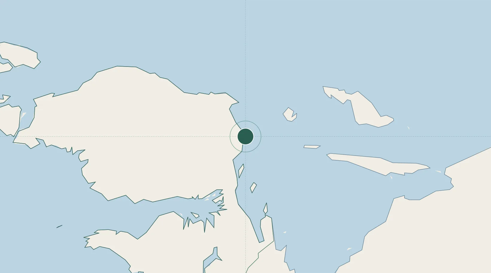
Hub Profile
Place type
District seat
Region
West Papua
Time zone
Asia/Jayapura
Elevation
11 m
Location
Nearby Logistics Neighbours
Cities
- 1Mapia Island248 km
- 2Inanwatan249 km
- 3Kokas253 km
- 4Sorong340 km
- 5Salawati Terminal363 km
Ports
- 1Manokwari Road58 km
- 2Fakfak282 km
- 3Kasim Terminal361 km
- 4Salawati365 km
- 5Bula462 km
Airports
- 1Rendani Airport56 km
- 2Babo Airport160 km
- 3Frans Kaisiepo Airport206 km
- 4Stevanus Rumbewas Airport207 km
- 5Werur Airport253 km
Trade Zones
- 1KEK Sorong338 km
- 2KEK Morotai767 km
- 3Vanimo Special Economic Zone794 km
- 4Sandaun Special Economic Zone796 km
- 5Sepik Special Economic Zone874 km
DatabookThe Record of Consolidated Knowledge
Indonesia beyond logistics?