Medium airport · Indonesia

Kasiguncu AirportWAFP
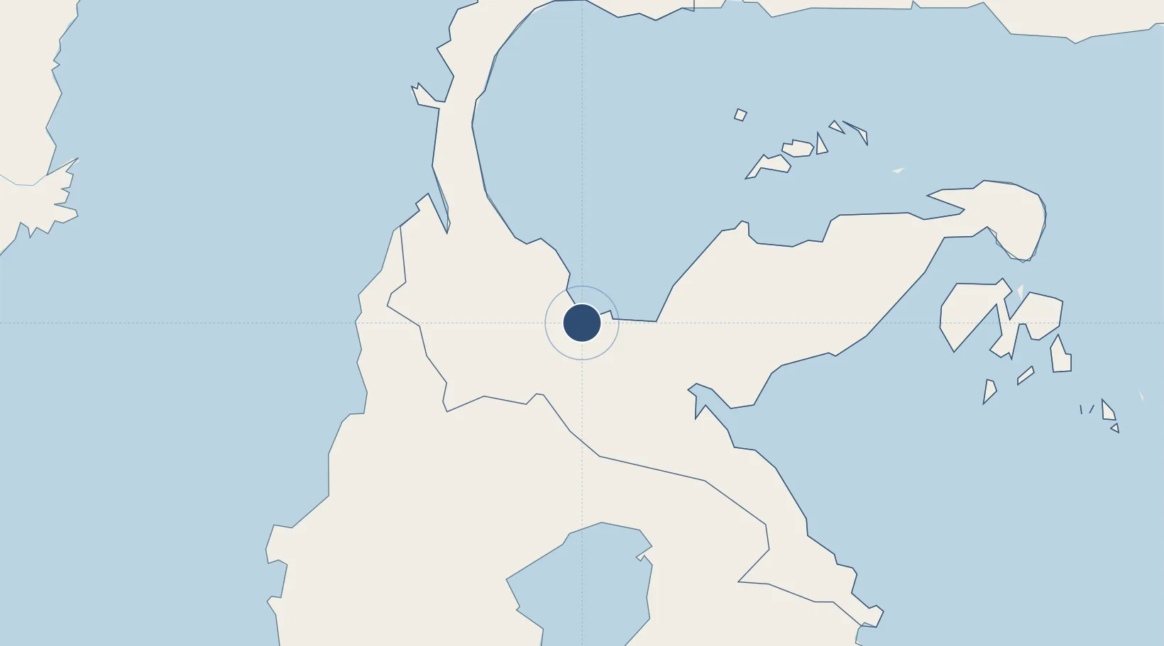
-1.4141°, 120.6592°
3,650 ft
Longest runway
1
Runways
174 ft
Elevation

Runway & Layout

Kasiguncu Airport runway & taxiway layout
Runway & taxiway layout — OpenStreetMap (ODbL) / OurAirports

Radio Frequencies

A/G
457.5 MHz
RDO
OurAirports

Navaids

DF NDB Kasiguncu 310 kHz
OurAirports

Runways · 1

RunwayDimensions SurfaceTrue headingLit
03/21 3,650 × 75ft Asphalt 033°
OurAirports

Airport Specifications

IATA code
PSJ
OurAirports
ICAO code
WAFP
OurAirports
Airport class
Medium airport
OurAirports
Scheduled service
No
OurAirports
Runway surface
Asphalt
OurAirports
Served city
Poso-Celebes Island
OurAirports

Location

Location of WAFP
Natural Earth 10m (public domain) · Sulawesi Tengah · WAFP · -1.41, 120.66GoogleOSMYandex

Nearby Logistics Neighbours

Airports
  1. 1Mutiara - SIS Al-Jufrie Airport100 km
  2. 2Tanjung Api Airport124 km
  3. 3Maleo Airport142 km
  4. 4Bua - Palopo Lagaligo Airport191 km
  5. 5Toraja Airport214 km
Nearest neighbours — logibook spatial index (haversine) over the source coordinates
Cities
  1. 1Kerobokan53 km
  2. 2Kolonodale97 km
  3. 3Morowali106 km
  4. 4Pantoloan, Sv119 km
  5. 5Palu119 km
Nearest neighbours — logibook spatial index (haversine) over the source coordinates
Ports
  1. 1Poso11 km
  2. 2Kolonodale98 km
  3. 3Luwuk244 km
  4. 4Parepare310 km
  5. 5Pomalaa323 km
Nearest neighbours — logibook spatial index (haversine) over the source coordinates
Trade Zones
  1. 1Palu Special Economic Zone117 km
  2. 2Morowali Industrial Park229 km
  3. 3Maloy Batuta Trans Kalimantan Special Economic Zone392 km
  4. 4Kaltim Industrial Estate396 km
  5. 5Kariangau Industrial Estate424 km
Nearest neighbours — logibook spatial index (haversine) over the source coordinates
DatabookThe Record of Consolidated Knowledge
Indonesia beyond logistics?
Browse databook

All Sources

AirportsOurAirports
Public domain
Portsthe NGA World Port Index
Public domain (US gov)
LocationsUN/LOCODE
UN/LOCODE — free
Trade Zonesthe World Bank SEZ database
CC BY 4.0
Trade ZonesOpen Zone Map
CC BY
InfrastructureOpenStreetMap
ODbL 1.0
← Indonesia airports