Transport Functions
Port
Hub Profile
Place type
Populated place
Region
Central Sulawesi
Time zone
Asia/Makassar
Elevation
21 m
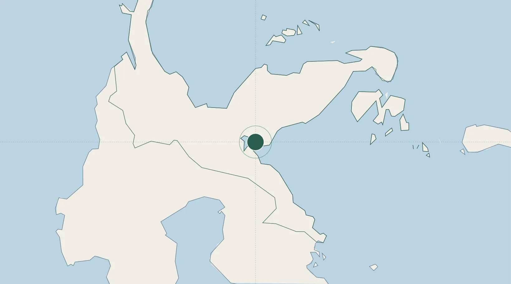
Location
Nearby Logistics Neighbours
Cities
- 1Kolonodale22 km
- 2Donggi91 km
- 3Ampana112 km
- 4Kerobokan154 km
- 5Pagimana172 km
Ports
- 1Kolonodale23 km
- 2Poso100 km
- 3Luwuk177 km
- 4Pomalaa256 km
- 5Kendari263 km
Airports
- 1Maleo Airport41 km
- 2Kasiguncu Airport106 km
- 3Tanjung Api Airport112 km
- 4Syukuran Aminuddin Amir Airport169 km
- 5Bua - Palopo Lagaligo Airport194 km
Trade Zones
- 1Morowali Industrial Park129 km
- 2Palu Special Economic Zone222 km
- 3Kawasan Industri Makassar423 km
- 4Bantaeng Industrial Park (BIP)436 km
- 5Terpadu Takalar Industrial Estate463 km
DatabookThe Record of Consolidated Knowledge
Indonesia beyond logistics?