Transport Functions
Port
Road
Hub Profile
Place type
Populated place
Region
East Java
Time zone
Asia/Jakarta
Elevation
49 m
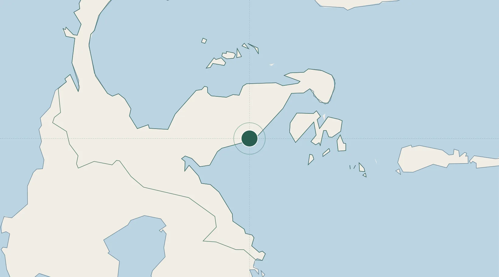
Location
Nearby Logistics Neighbours
Cities
- 1Luwuk89 km
- 2Pagimana91 km
- 3Morowali91 km
- 4Ampana105 km
- 5Kolonodale113 km
Ports
- 1Luwuk89 km
- 2Kolonodale114 km
- 3Poso168 km
- 4Gorontalo243 km
- 5Kendari273 km
Airports
- 1Syukuran Aminuddin Amir Airport80 km
- 2Maleo Airport99 km
- 3Tanjung Api Airport101 km
- 4Kasiguncu Airport177 km
- 5Jalaluddin Airport250 km
Trade Zones
- 1Morowali Industrial Park144 km
- 2Palu Special Economic Zone280 km
- 3Bitung Special Economic Zone453 km
- 4KEK Likupang482 km
- 5Kawasan Industri Makassar501 km
DatabookThe Record of Consolidated Knowledge
Indonesia beyond logistics?