Transport Functions
Port
Road
Hub Profile
Place type
Provincial seat
Region
Central Sulawesi
Time zone
Asia/Makassar
Elevation
13 m
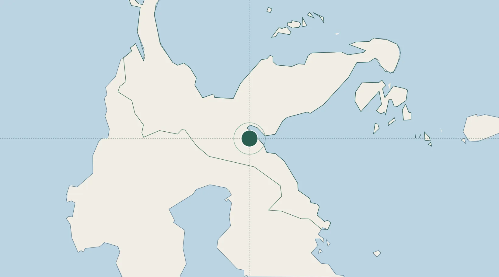
Location
Nearby Logistics Neighbours
Cities
- 1Morowali22 km
- 2Donggi113 km
- 3Ampana125 km
- 4Kerobokan148 km
- 5Palapo, Sulawesi174 km
Airports
- 1Maleo Airport45 km
- 2Kasiguncu Airport97 km
- 3Tanjung Api Airport127 km
- 4Bua - Palopo Lagaligo Airport173 km
- 5Syukuran Aminuddin Amir Airport191 km
Trade Zones
- 1Morowali Industrial Park132 km
- 2Palu Special Economic Zone214 km
- 3Kawasan Industri Makassar404 km
- 4Bantaeng Industrial Park (BIP)419 km
- 5Terpadu Takalar Industrial Estate444 km
DatabookThe Record of Consolidated Knowledge
Indonesia beyond logistics?