UN/LOCODE hub · Indonesia
IDSBG

Sabang, Sumatra

5.8266°, 95.3473°
1
Transport functions

Transport Functions

Port
Sabang, Sumatra is also a profiled seaport →
UN/LOCODE

Hub Profile

Logistics facilities
1
UN/LOCODE

Location

Location of IDSBG
Natural Earth 10m (public domain) · Aceh · IDSBG · 5.83, 95.35GoogleOSMYandex

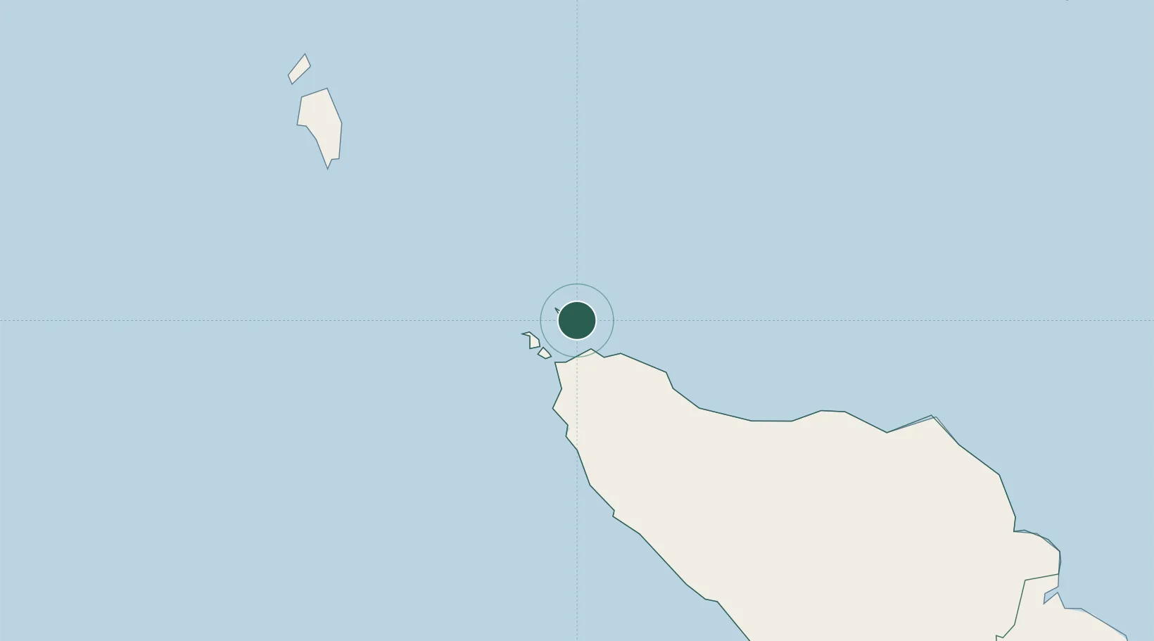
Nearby Logistics Neighbours

Cities
  1. 1Balohan2 km
  2. 2Krueng Geukueh197 km
  3. 3Lhokseumawe211 km
  4. 4Kualalangsa329 km
  5. 5Phuket Port403 km
Nearest neighbours — logibook spatial index (haversine) over the source coordinates
Ports
  1. 1Uleelheue30 km
  2. 2Blanglancang205 km
  3. 3Lhokseumawe206 km
  4. 4Pangkalansusu370 km
  5. 5Phuket404 km
Nearest neighbours — logibook spatial index (haversine) over the source coordinates
Airports
  1. 1Sultan Iskandar Muda International Airport35 km
  2. 2Malikus Saleh Airport190 km
  3. 3Campbell Bay Airport / INS Baaz205 km
  4. 4Rembele Airport207 km
  5. 5Cut Nyak Dhien Airport223 km
Nearest neighbours — logibook spatial index (haversine) over the source coordinates
Trade Zones
  1. 1Lampulo Fisheries Industrial Estate27 km
  2. 2KEK Arun Lhokseumawe203 km
  3. 3Medan Industrial Estate439 km
  4. 4Medan Star Industrial Estate460 km
  5. 5Sei Mangkei Special Economic Zone535 km
Nearest neighbours — logibook spatial index (haversine) over the source coordinates
DatabookThe Record of Consolidated Knowledge
Indonesia beyond logistics?
Browse databook

All Sources

LocationsUN/LOCODE
UN/LOCODE — free
Portsthe NGA World Port Index
Public domain (US gov)
AirportsOurAirports
Public domain
Trade Zonesthe World Bank SEZ database
CC BY 4.0
Trade ZonesOpen Zone Map
CC BY
← Indonesia locations