Channel & Berth Profile
Pilotage, Tugs & Services
Pilotage compulsoryYES
Pilotage availableYES
Pilotage advisableYES
Local assistanceYES
Tug assistanceYES
Shore powerYES
Potable waterYES
MedicalYES
Facilities & Capabilities
Container—
Ro-Ro—
Liquid bulk—
Dry bulk—
Oil terminal—
Break bulk—
Dry dockNO
RepairsNO
BunkeringYES
Rail link—
Dangerous cargo—
ISPS security—
Harbour Specifications
Harbour size
Very Small
Harbour type
Coastal (Breakwater)
Shelter
Fair
Water body
Andaman Sea; Indian Ocean
Tidal range
1 m
Pilotage
Yes
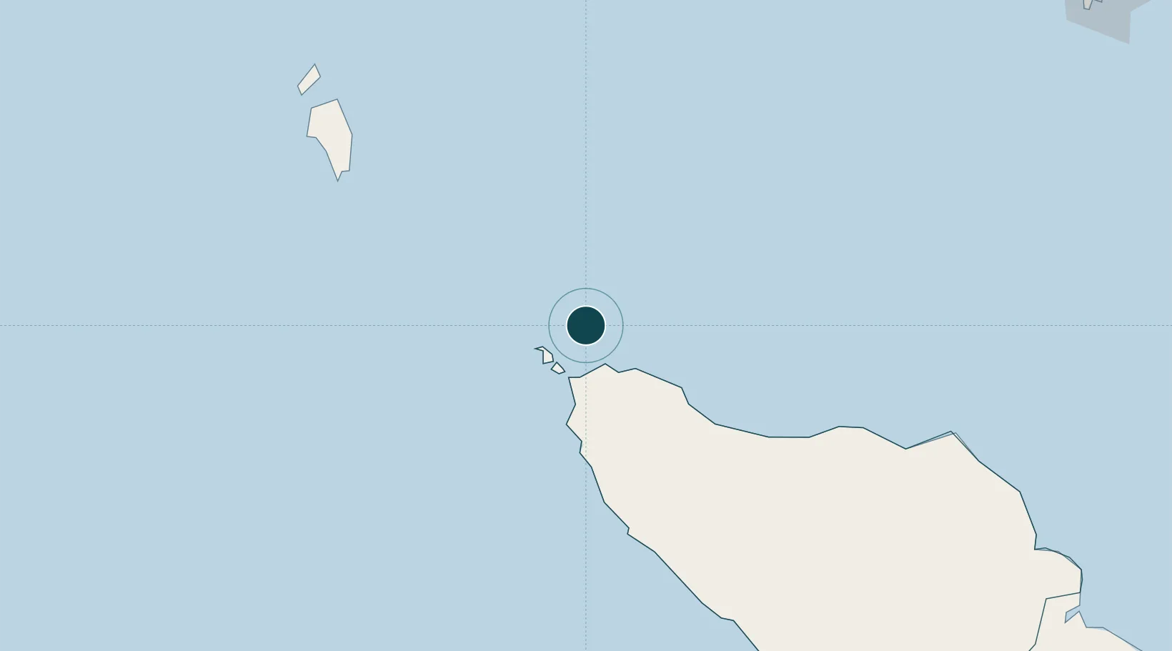
Location
Nearby Logistics Neighbours
Ports
- 1Uleelheue35 km
- 2Blanglancang210 km
- 3Lhokseumawe211 km
- 4Pangkalansusu377 km
- 5Phuket404 km
Cities
- 1Balohan8 km
- 2Krueng Geukueh203 km
- 3Lhokseumawe216 km
- 4Kualalangsa335 km
- 5Phuket Port403 km
Airports
- 1Sultan Iskandar Muda International Airport41 km
- 2Malikus Saleh Airport195 km
- 3Campbell Bay Airport / INS Baaz199 km
- 4Rembele Airport214 km
- 5Cut Nyak Dhien Airport230 km
Trade Zones
DatabookThe Record of Consolidated Knowledge
Indonesia beyond logistics?