Channel & Berth Profile
Pilotage, Tugs & Services
Pilotage compulsoryYES
Pilotage availableYES
Tug assistanceNO
Potable waterYES
MedicalYES
Facilities & Capabilities
Container—
Ro-Ro—
Liquid bulk—
Dry bulk—
Oil terminal—
Break bulk—
Dry dock—
RepairsNO
BunkeringYES
Rail link—
Dangerous cargo—
ISPS security—
Harbour Specifications
Harbour size
Very Small
Harbour type
Open Roadstead
Shelter
Fair
Water body
Andaman Sea; Indian Ocean
Tidal range
2 m
Pilotage
Yes
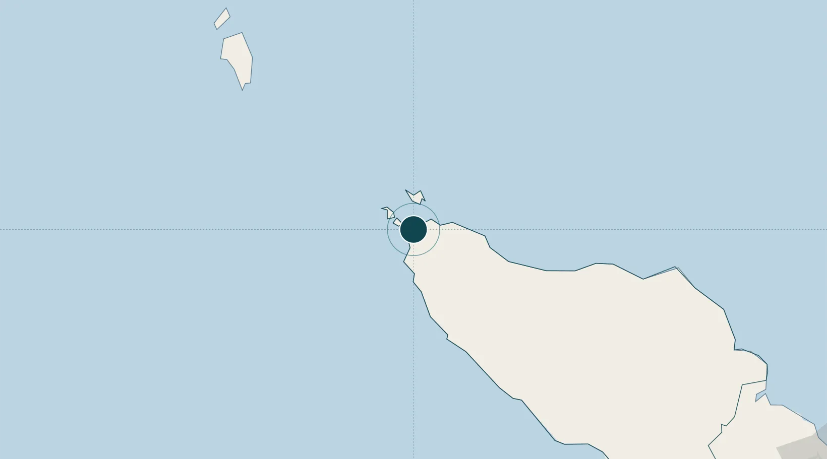
Location
Nearby Logistics Neighbours
Ports
- 1Sabang35 km
- 2Blanglancang205 km
- 3Lhokseumawe206 km
- 4Pangkalansusu363 km
- 5Belawan426 km
Cities
- 1Balohan28 km
- 2Sabang, Sumatra30 km
- 3Krueng Geukueh197 km
- 4Lhokseumawe210 km
- 5Kualalangsa324 km
Airports
- 1Sultan Iskandar Muda International Airport16 km
- 2Malikus Saleh Airport188 km
- 3Rembele Airport198 km
- 4Cut Nyak Dhien Airport201 km
- 5Campbell Bay Airport / INS Baaz220 km
Trade Zones
DatabookThe Record of Consolidated Knowledge
Indonesia beyond logistics?