Large airport · Indonesia

Sultan Iskandar Muda International AirportWITT
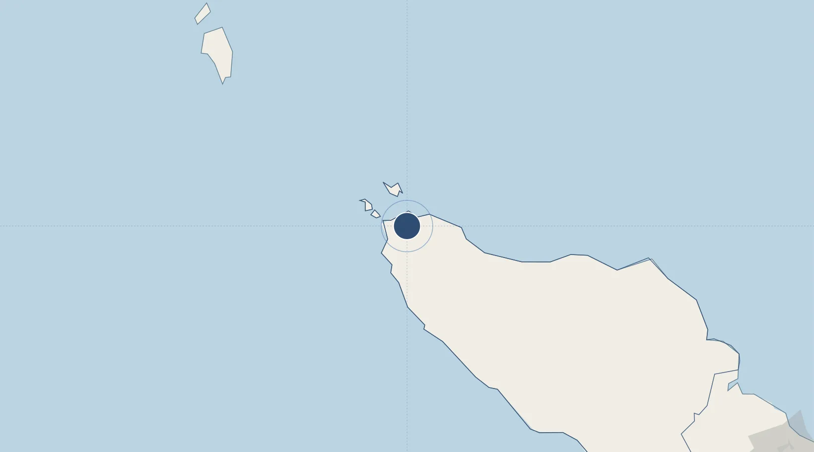
5.5251°, 95.4200°
9,843 ft
Longest runway
1
Runways
65 ft
Elevation

Runway & Layout

Sultan Iskandar Muda International Airport runway & taxiway layout
Runway & taxiway layout — OpenStreetMap (ODbL) / OurAirports

Radio Frequencies

AFIS
122.2 MHz
TWR
RDO
658.9 MHz
BANDA ACEH RDO
OurAirports

Navaids

BAC VOR-DME Banda Aceh 113.40 MHz
NZ NDB Banda Aceh 330 kHz
OurAirports

Runways · 1

RunwayDimensions SurfaceTrue headingLit
17/35 9,843 × 148ft Asphalt 168°
OurAirports

Airport Specifications

IATA code
BTJ
OurAirports
ICAO code
WITT
OurAirports
Airport class
Large airport
OurAirports
Scheduled service
Yes
OurAirports
Runway surface
Asphalt
OurAirports
Served city
Banda Aceh
OurAirports

Location

Location of WITT
Natural Earth 10m (public domain) · Aceh · WITT · 5.53, 95.42GoogleOSMYandex

Nearby Logistics Neighbours

Airports
  1. 1Malikus Saleh Airport173 km
  2. 2Rembele Airport182 km
  3. 3Cut Nyak Dhien Airport189 km
  4. 4Lhok Sukon Airport210 km
  5. 5Campbell Bay Airport / INS Baaz234 km
Nearest neighbours — logibook spatial index (haversine) over the source coordinates
Cities
  1. 1Balohan34 km
  2. 2Sabang, Sumatra35 km
  3. 3Krueng Geukueh181 km
  4. 4Lhokseumawe194 km
  5. 5Kualalangsa308 km
Nearest neighbours — logibook spatial index (haversine) over the source coordinates
Ports
  1. 1Uleelheue16 km
  2. 2Sabang41 km
  3. 3Blanglancang189 km
  4. 4Lhokseumawe190 km
  5. 5Pangkalansusu347 km
Nearest neighbours — logibook spatial index (haversine) over the source coordinates
Trade Zones
  1. 1Lampulo Fisheries Industrial Estate13 km
  2. 2KEK Arun Lhokseumawe187 km
  3. 3Medan Industrial Estate415 km
  4. 4Medan Star Industrial Estate436 km
  5. 5Sei Mangkei Special Economic Zone510 km
Nearest neighbours — logibook spatial index (haversine) over the source coordinates
DatabookThe Record of Consolidated Knowledge
Indonesia beyond logistics?
Browse databook

All Sources

AirportsOurAirports
Public domain
Portsthe NGA World Port Index
Public domain (US gov)
LocationsUN/LOCODE
UN/LOCODE — free
Trade Zonesthe World Bank SEZ database
CC BY 4.0
Trade ZonesOpen Zone Map
CC BY
InfrastructureOpenStreetMap
ODbL 1.0
← Indonesia airports