Runway & Layout

Navaids
MH NDB Meulaboh 200 kHz
Airport Specifications
IATA code
MEQ
ICAO code
WITC
Airport class
Medium airport
Scheduled service
Yes
Served city
Kuala Pesisir
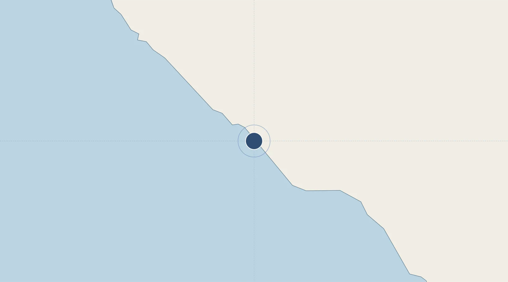
Location
Nearby Logistics Neighbours
Airports
- 1Rembele Airport101 km
- 2Malikus Saleh Airport153 km
- 3Lhok Sukon Airport160 km
- 4Lasikin Airport181 km
- 5Sultan Iskandar Muda International Airport189 km
Cities
- 1Lhokseumawe159 km
- 2Krueng Geukueh160 km
- 3Kualalangsa203 km
- 4Balohan222 km
- 5Sabang, Sumatra223 km
Ports
- 1Blanglancang162 km
- 2Lhokseumawe165 km
- 3Uleelheue201 km
- 4Pangkalansusu218 km
- 5Sabang230 km
Trade Zones
- 1KEK Arun Lhokseumawe160 km
- 2Lampulo Fisheries Industrial Estate200 km
- 3Medan Industrial Estate271 km
- 4Medan Star Industrial Estate289 km
- 5Sei Mangkei Special Economic Zone357 km
DatabookThe Record of Consolidated Knowledge
Indonesia beyond logistics?