Transport Functions
Port
Hub Profile
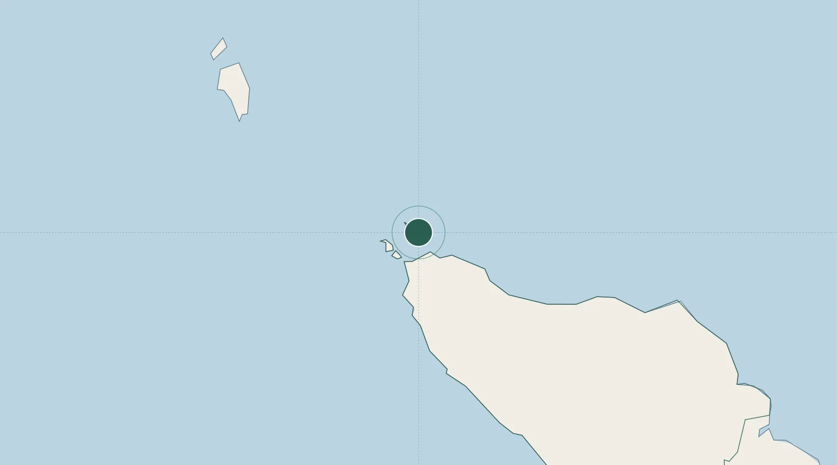
Place type
Populated place
Region
Aceh
Time zone
Asia/Jakarta
Elevation
4 m
Location
Nearby Logistics Neighbours
Cities
- 1Sabang, Sumatra2 km
- 2Krueng Geukueh198 km
- 3Lhokseumawe212 km
- 4Kualalangsa330 km
- 5Phuket Port405 km
Ports
- 1Sabang8 km
- 2Uleelheue28 km
- 3Blanglancang206 km
- 4Lhokseumawe207 km
- 5Pangkalansusu371 km
Airports
- 1Sultan Iskandar Muda International Airport34 km
- 2Malikus Saleh Airport191 km
- 3Campbell Bay Airport / INS Baaz205 km
- 4Rembele Airport208 km
- 5Cut Nyak Dhien Airport222 km
Trade Zones
DatabookThe Record of Consolidated Knowledge
Indonesia beyond logistics?