Small airport · Indonesia
Sampit (H.Asan) AirportWAOS
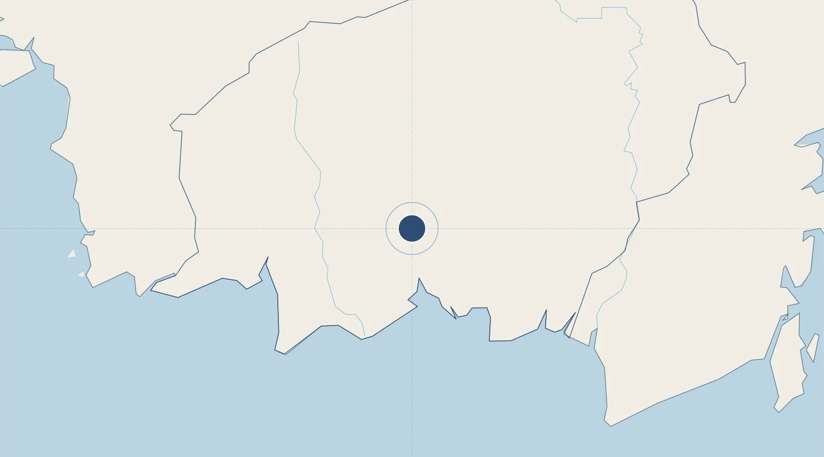
-2.4992°, 112.9750°
6,060 ft
Longest runway
1
Runways
50 ft
Elevation
Runway & Layout

Radio Frequencies
A/G
122.8 MHz
SAMPIT INFO
Runways · 1
| Runway | Dimensions | Surface | True heading | Lit |
|---|---|---|---|---|
| 13/31 | 6,060 × 98ft | Asphalt | 133° | — |
Airport Specifications
IATA code
SMQ
ICAO code
WAGS
Airport class
Small airport
Scheduled service
Yes
Runway surface
Asphalt
Served city
Sampit
Location
Nearby Logistics Neighbours
Airports
- 1Seruyan Kuala Pembuang Airport109 km
- 2Tjilik Riwut Airport112 km
- 3Tumbang Samba Airport115 km
- 4Iskandar Airport146 km
- 5Syamsudin Noor International Airport224 km
Cities
- 1Bagendang54 km
- 2Kumai141 km
- 3Banjarmasin200 km
- 4Marabahan206 km
- 5Taboneo207 km
Ports
- 1Sampit3 km
- 2Kumai143 km
- 3Banjarmasin201 km
- 4Tanah Merah363 km
- 5Stagen364 km
Trade Zones
- 1Kariangau Industrial Estate451 km
- 2Tuban Industrial Estate491 km
- 3Delma Industrial Park510 km
- 4Java Integrated Industrial Estate512 km
- 5Maspion Industrial Estate516 km
DatabookThe Record of Consolidated Knowledge
Indonesia beyond logistics?