UN/LOCODE hub · Indonesia
IDTAB

Taboneo

-3.6833°, 114.4167°
1
Transport functions

Transport Functions

Port
UN/LOCODE

Hub Profile

Region
KS
GeoNames

Location

Location of IDTAB
Natural Earth 10m (public domain) · KS · IDTAB · -3.68, 114.42GoogleOSMYandex

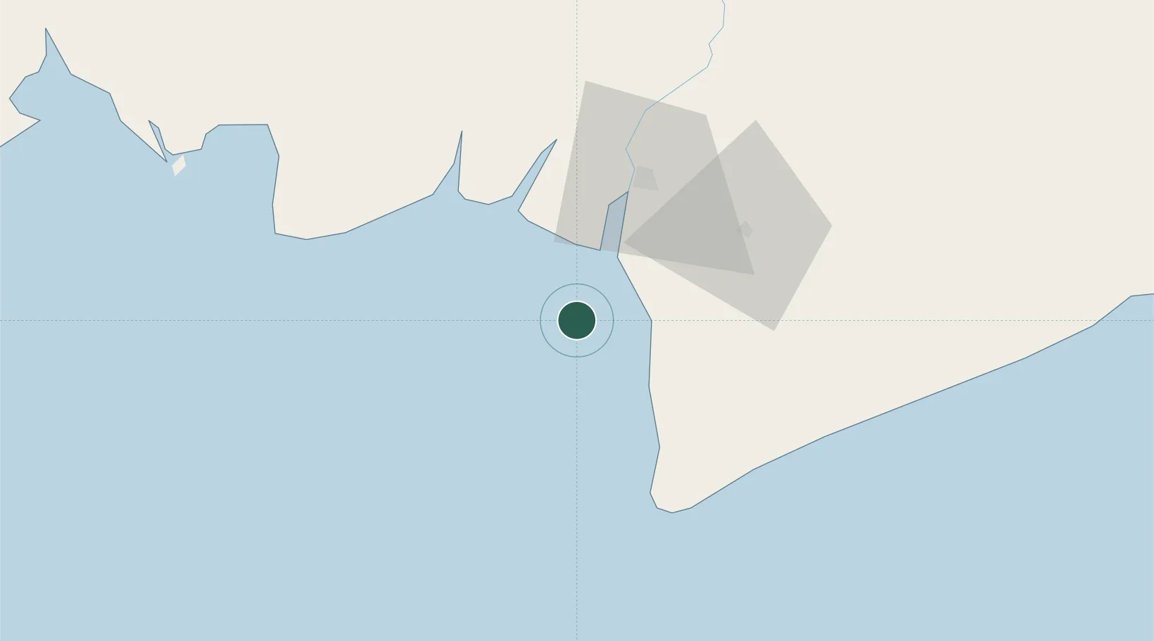
Nearby Logistics Neighbours

Cities
  1. 1Banjarmasin42 km
  2. 2Asam Asam80 km
  3. 3Marabahan87 km
  4. 4Jorong Anchorage94 km
  5. 5Batulicin176 km
Nearest neighbours — logibook spatial index (haversine) over the source coordinates
Ports
  1. 1Banjarmasin43 km
  2. 2Stagen197 km
  3. 3Sampit204 km
  4. 4Kota Baru206 km
  5. 5North Pulau Laut Coal Terminal214 km
Nearest neighbours — logibook spatial index (haversine) over the source coordinates
Airports
  1. 1Syamsudin Noor International Airport47 km
  2. 2Tjilik Riwut Airport170 km
  3. 3Bersujud Airport178 km
  4. 4Warukin Airport199 km
  5. 5Gusti Syamsir Alam Airport199 km
Nearest neighbours — logibook spatial index (haversine) over the source coordinates
Trade Zones
  1. 1Kariangau Industrial Estate380 km
  2. 2Java Integrated Industrial Estate428 km
  3. 3Maspion Industrial Estate432 km
  4. 4Gresik Industrial Estate434 km
  5. 5Pulahan Seruai Industrial Estate441 km
Nearest neighbours — logibook spatial index (haversine) over the source coordinates
DatabookThe Record of Consolidated Knowledge
Indonesia beyond logistics?
Browse databook

All Sources

LocationsUN/LOCODE
UN/LOCODE — free
Portsthe NGA World Port Index
Public domain (US gov)
AirportsOurAirports
Public domain
Trade Zonesthe World Bank SEZ database
CC BY 4.0
Trade ZonesOpen Zone Map
CC BY
← Indonesia locations