Transport Functions
Port
Hub Profile
Place type
Provincial seat
Region
South Kalimantan
Time zone
Asia/Makassar
Elevation
0 m
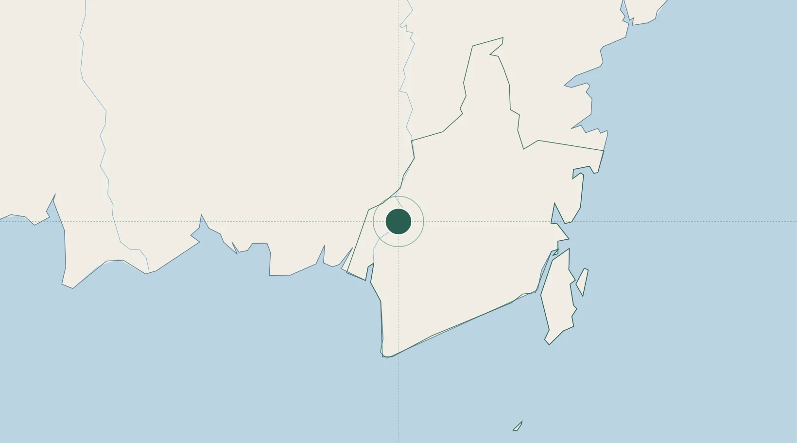
Location
Nearby Logistics Neighbours
Cities
- 1Banjarmasin46 km
- 2Taboneo87 km
- 3Asam Asam108 km
- 4Jorong Anchorage139 km
- 5Buntok143 km
Ports
- 1Banjarmasin44 km
- 2Stagen158 km
- 3Kota Baru163 km
- 4North Pulau Laut Coal Terminal170 km
- 5Gunung Batu Besar175 km
Airports
- 1Syamsudin Noor International Airport51 km
- 2Warukin Airport113 km
- 3Tjilik Riwut Airport124 km
- 4Bersujud Airport145 km
- 5Gusti Syamsir Alam Airport159 km
Trade Zones
- 1Kariangau Industrial Estate299 km
- 2Delma Industrial Park433 km
- 3Kaltim Industrial Estate463 km
- 4Java Integrated Industrial Estate515 km
- 5Maspion Industrial Estate519 km
DatabookThe Record of Consolidated Knowledge
Indonesia beyond logistics?