UN/LOCODE hub · Indonesia
IDBDJ
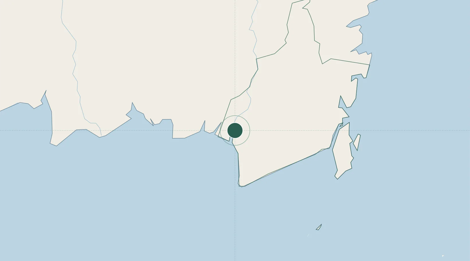
Banjarmasin
-3.3402°, 114.5646°
657,663
Population
2
Transport functions
1
Container terminals
Transport Functions
Port
Airport
Hub Profile
Place type
Provincial seat
Region
South Kalimantan
Population
657,663
Time zone
Asia/Makassar
Elevation
8 m
Logistics facilities
3
Container terminals
1
Location
Nearby Logistics Neighbours
Cities
- 1Taboneo42 km
- 2Marabahan46 km
- 3Asam Asam86 km
- 4Jorong Anchorage111 km
- 5Batulicin158 km
Ports
- 1Stagen176 km
- 2Kota Baru184 km
- 3North Pulau Laut Coal Terminal191 km
- 4Sampit196 km
- 5Gunung Batu Besar209 km
Airports
- 1Syamsudin Noor International Airport25 km
- 2Tjilik Riwut Airport142 km
- 3Warukin Airport158 km
- 4Bersujud Airport159 km
- 5Gusti Syamsir Alam Airport178 km
Trade Zones
- 1Kariangau Industrial Estate342 km
- 2Java Integrated Industrial Estate470 km
- 3Maspion Industrial Estate473 km
- 4Gresik Industrial Estate476 km
- 5Delma Industrial Park478 km
DatabookThe Record of Consolidated Knowledge
Indonesia beyond logistics?