Seaport · Indonesia
BanjarmasinIDBDJ
-3.3333°, 114.5833°
3.4 m
Channel depth
1
Container terminals
20.5
Port liner connectivity
Channel & Berth Profile
Pilotage, Tugs & Services
Pilotage compulsoryYES
Pilotage availableYES
Tug assistanceYES
Potable waterYES
MedicalYES
Facilities & Capabilities
Container—
Ro-Ro—
Liquid bulk—
Dry bulk—
Oil terminal—
Break bulk—
Dry dockNO
RepairsNO
BunkeringYES
Rail link—
Dangerous cargo—
ISPS security—
Harbour Specifications
Harbour size
Very Small
Harbour type
River (Natural)
Shelter
Excellent
Water body
Java Sea; South Pacific Ocean
Tidal range
2 m
Overhead limit
Yes
Pilotage
Yes
Liner Connectivity
20.5
PLSCI
Port Liner Shipping Connectivity Index for Banjarmasin, as published by UNCTAD for the latest available quarter. Higher values indicate stronger scheduled liner-shipping integration.
Shown relative to the highest per-port PLSCI in the dataset (1,657.9).
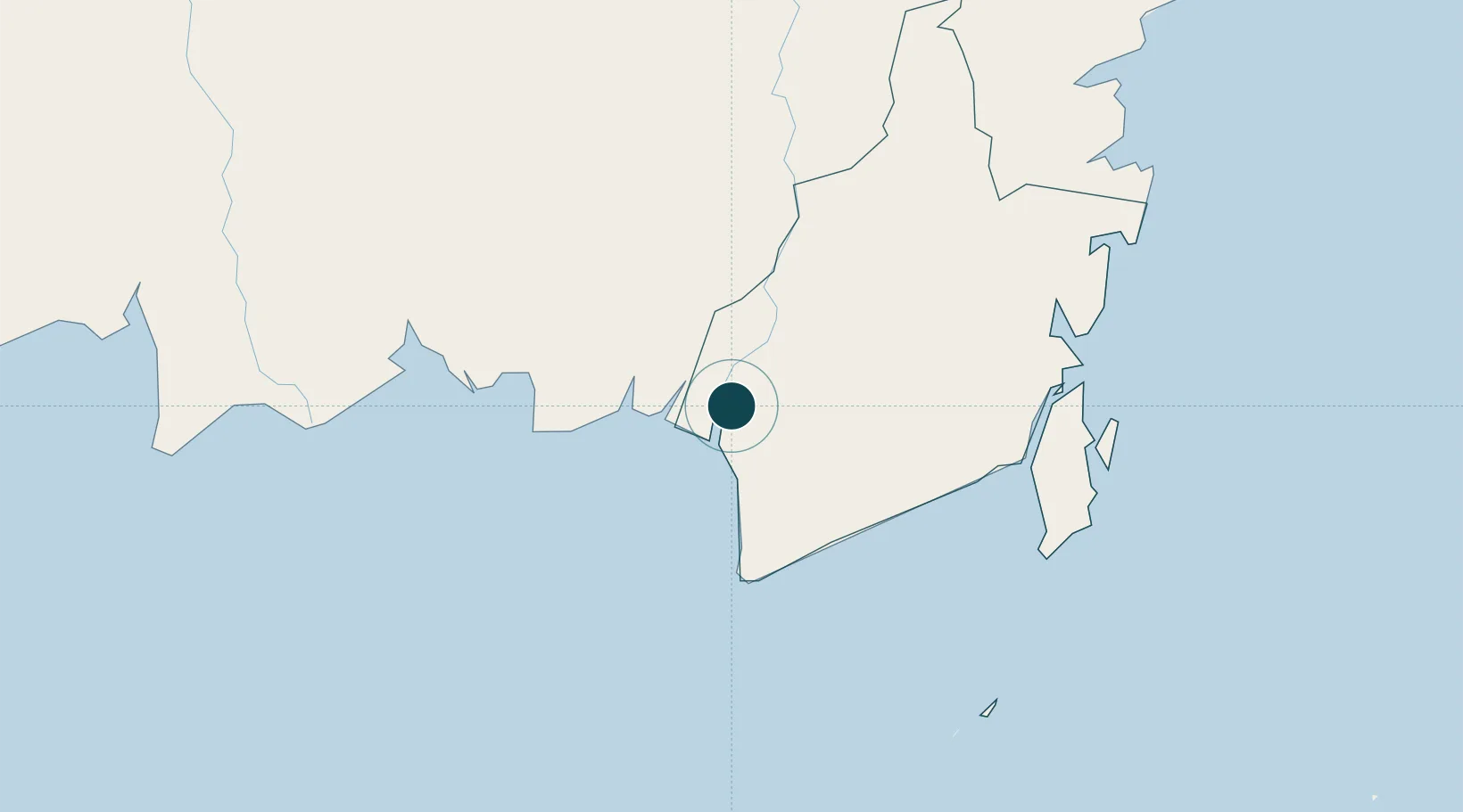
Location
Container Terminals · 1
TRISAKTI PORT BANJARMASIN
PERUMP PT PELINDO MULTI TERMINAL (SPMT)
Nearby Logistics Neighbours
Ports
- 1Stagen174 km
- 2Kota Baru182 km
- 3North Pulau Laut Coal Terminal189 km
- 4Sampit198 km
- 5Gunung Batu Besar207 km
Cities
- 1Taboneo43 km
- 2Marabahan44 km
- 3Asam Asam85 km
- 4Jorong Anchorage111 km
- 5Batulicin156 km
Airports
- 1Syamsudin Noor International Airport23 km
- 2Tjilik Riwut Airport142 km
- 3Warukin Airport156 km
- 4Bersujud Airport157 km
- 5Gusti Syamsir Alam Airport176 km
Trade Zones
- 1Kariangau Industrial Estate340 km
- 2Java Integrated Industrial Estate471 km
- 3Maspion Industrial Estate475 km
- 4Delma Industrial Park476 km
- 5Gresik Industrial Estate477 km
DatabookThe Record of Consolidated Knowledge
Indonesia beyond logistics?