Transport Functions
Multimodal
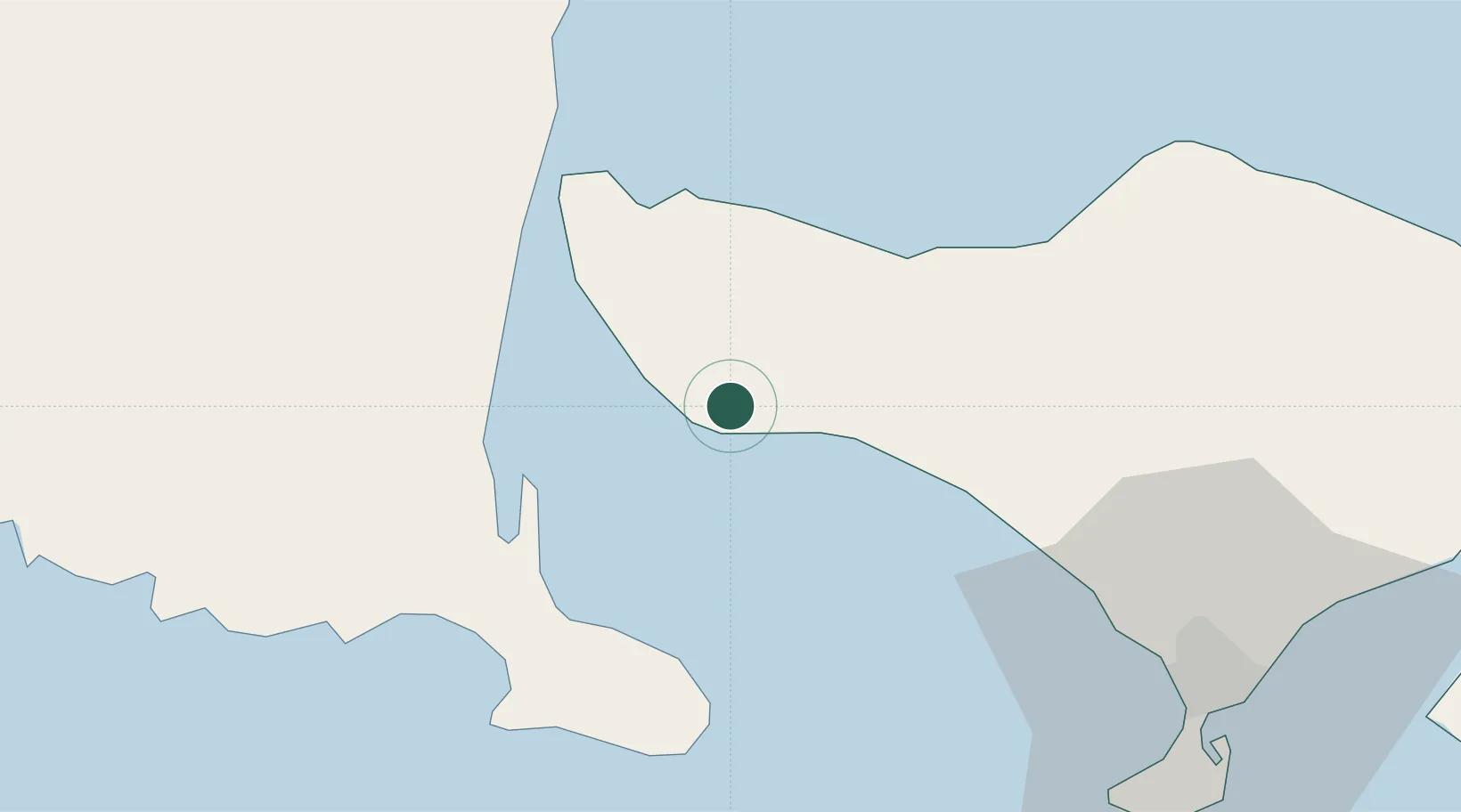
Hub Profile
Place type
Populated place
Region
Bali
Time zone
Asia/Makassar
Elevation
11 m
Location
Nearby Logistics Neighbours
Cities
- 1Banyuwangi38 km
- 2Gatot Subroto Permai67 km
- 3Kuta70 km
- 4Benoa75 km
- 5Gianyar77 km
Ports
- 1Celukan Bawang29 km
- 2Benoa76 km
- 3Panarukan108 km
- 4Ampenan157 km
- 5Probolinggo174 km
Airports
Trade Zones
- 1KEK Mandalika190 km
- 2Pasuruan Industrial Estate Rembang218 km
- 3KEK Singhasari228 km
- 4Safe N Lock Industrial Estate232 km
- 5Surabaya Industrial Estate - Rungkut238 km
DatabookThe Record of Consolidated Knowledge
Indonesia beyond logistics?