Transport Functions
Port
Road
Hub Profile
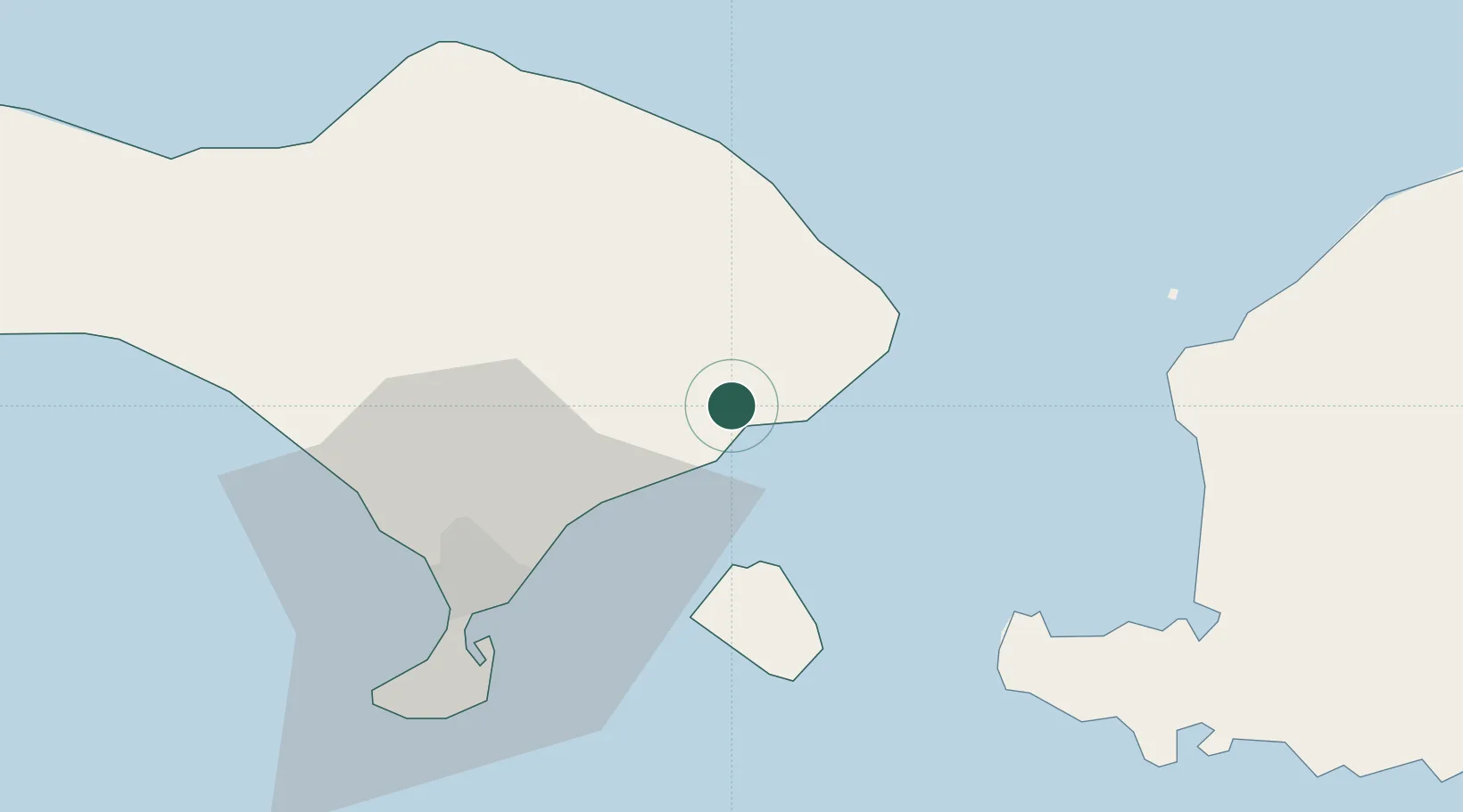
Place type
Populated place
Region
Bali
Time zone
Asia/Makassar
Elevation
142 m
Location
Nearby Logistics Neighbours
Cities
- 1Gianyar21 km
- 2Gatot Subroto Permai39 km
- 3Benoa44 km
- 4Kuta45 km
- 5Senggigi59 km
Ports
- 1Benoa44 km
- 2Ampenan61 km
- 3Celukan Bawang82 km
- 4Tanjung Benete143 km
- 5Panarukan195 km
Airports
Trade Zones
- 1KEK Mandalika97 km
- 2Pasuruan Industrial Estate Rembang312 km
- 3KEK Singhasari324 km
- 4Safe N Lock Industrial Estate325 km
- 5Surabaya Industrial Estate - Rungkut330 km
DatabookThe Record of Consolidated Knowledge
Indonesia beyond logistics?