Transport Functions
Multimodal
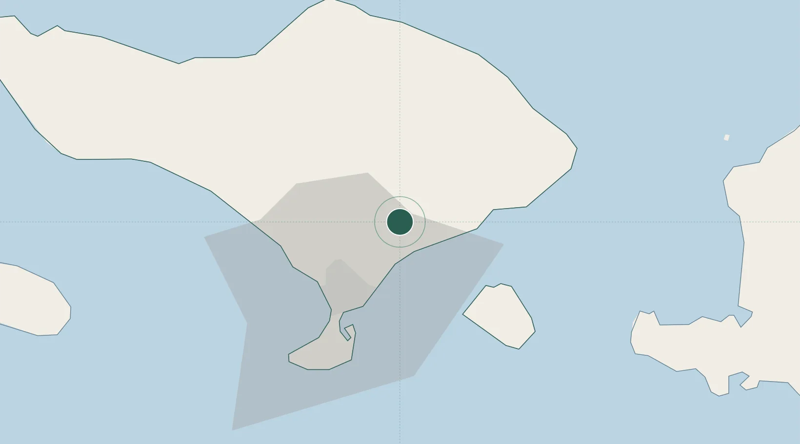
Hub Profile
Place type
Provincial seat
Region
Bali
Time zone
Asia/Makassar
Elevation
123 m
Location
Nearby Logistics Neighbours
Cities
- 1Gatot Subroto Permai18 km
- 2Manggis21 km
- 3Kuta26 km
- 4Benoa27 km
- 5Jembrana77 km
Ports
- 1Benoa27 km
- 2Celukan Bawang67 km
- 3Ampenan81 km
- 4Tanjung Benete161 km
- 5Panarukan180 km
Airports
Trade Zones
- 1KEK Mandalika113 km
- 2Pasuruan Industrial Estate Rembang295 km
- 3KEK Singhasari305 km
- 4Safe N Lock Industrial Estate309 km
- 5Surabaya Industrial Estate - Rungkut314 km
DatabookThe Record of Consolidated Knowledge
Indonesia beyond logistics?