Transport Functions
Multimodal
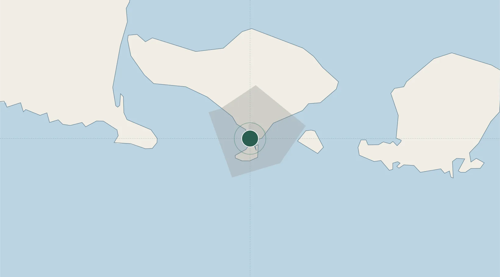
Hub Profile
Place type
Populated place
Region
Bali
Population
30,012
Time zone
Asia/Makassar
Elevation
8 m
Location
Nearby Logistics Neighbours
Cities
- 1Benoa4 km
- 2Gatot Subroto Permai9 km
- 3Gianyar26 km
- 4Manggis45 km
- 5Jembrana70 km
Ports
- 1Benoa5 km
- 2Celukan Bawang71 km
- 3Ampenan99 km
- 4Tanjung Benete173 km
- 5Panarukan178 km
Airports
Trade Zones
- 1KEK Mandalika124 km
- 2Pasuruan Industrial Estate Rembang288 km
- 3KEK Singhasari295 km
- 4Safe N Lock Industrial Estate302 km
- 5Surabaya Industrial Estate - Rungkut308 km
DatabookThe Record of Consolidated Knowledge
Indonesia beyond logistics?