UN/LOCODE hub · Indonesia
IDBOA

Benoa

-8.7432°, 115.2119°
1
Transport functions

Transport Functions

Port
Benoa is also a profiled seaport →
UN/LOCODE

Hub Profile

Place type
Populated place
GeoNames
Region
Central Java
GeoNames
Time zone
Asia/Jakarta
GeoNames
Elevation
614 m
GeoNames
Logistics facilities
1
UN/LOCODE

Location

Location of IDBOA
Natural Earth 10m (public domain) · Central Java · IDBOA · -8.74, 115.21GoogleOSMYandex

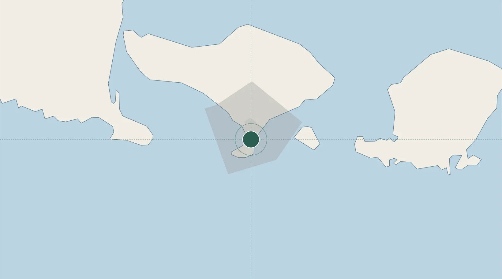
Nearby Logistics Neighbours

Cities
  1. 1Kuta4 km
  2. 2Gatot Subroto Permai12 km
  3. 3Gianyar27 km
  4. 4Manggis44 km
  5. 5Jembrana75 km
Nearest neighbours — logibook spatial index (haversine) over the source coordinates
Ports
  1. 1Celukan Bawang75 km
  2. 2Ampenan96 km
  3. 3Tanjung Benete170 km
  4. 4Panarukan182 km
  5. 5Probolinggo248 km
Nearest neighbours — logibook spatial index (haversine) over the source coordinates
Airports
  1. 1Denpasar I Gusti Ngurah Rai International Airport5 km
  2. 2Discovery Kartika Plaza Heliport5 km
  3. 3Lieutenant Colonel Wisnu Airfield94 km
  4. 4Banyuwangi Airport107 km
  5. 5Lombok International Airport117 km
Nearest neighbours — logibook spatial index (haversine) over the source coordinates
Trade Zones
  1. 1KEK Mandalika120 km
  2. 2Pasuruan Industrial Estate Rembang292 km
  3. 3KEK Singhasari299 km
  4. 4Safe N Lock Industrial Estate306 km
  5. 5Surabaya Industrial Estate - Rungkut313 km
Nearest neighbours — logibook spatial index (haversine) over the source coordinates
DatabookThe Record of Consolidated Knowledge
Indonesia beyond logistics?
Browse databook

All Sources

LocationsUN/LOCODE
UN/LOCODE — free
Portsthe NGA World Port Index
Public domain (US gov)
AirportsOurAirports
Public domain
Trade Zonesthe World Bank SEZ database
CC BY 4.0
Trade ZonesOpen Zone Map
CC BY
← Indonesia locations