Seaport · Indonesia

BengkuluIDBKS

-3.7833°, 102.2500°
1.8 m
Channel depth
10.0
Port liner connectivity

Channel & Berth Profile

SEA LEVEL (CD)CHANNEL BEDChannel · 1.8 mCargo pier · 9.4 mOil terminal · 9.4 mAnchorage · 11.0 m
NGA World Port Index

Pilotage, Tugs & Services

Pilotage compulsoryYES
Tug assistanceYES
Potable waterYES
Diesel bunkersYES
MedicalYES
NGA World Port Index

Facilities & Capabilities

Container
Ro-Ro
Liquid bulk
Dry bulk
Oil terminal
Break bulk
Dry dock
Repairs
Bunkering
Rail link
Dangerous cargo
ISPS security
NGA World Port Index

Harbour Specifications

Harbour size
Very Small
NGA World Port Index
Harbour type
Open Roadstead
NGA World Port Index
Shelter
Poor
NGA World Port Index
Water body
Indian Ocean
NGA World Port Index
Tidal range
3 m
NGA World Port Index
Pilotage
Yes
NGA World Port Index

Liner Connectivity

10
PLSCI

Port Liner Shipping Connectivity Index for Bengkulu, as published by UNCTAD for the latest available quarter. Higher values indicate stronger scheduled liner-shipping integration.

Shown relative to the highest per-port PLSCI in the dataset (1,657.9).
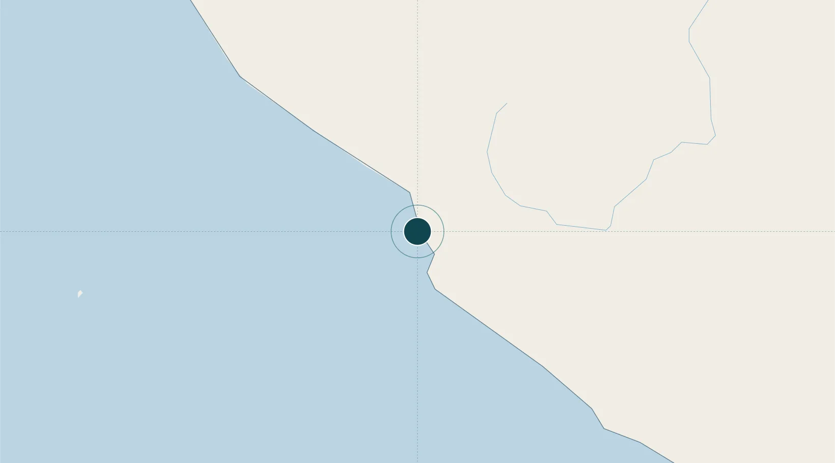
UNCTAD · Port Liner Shipping Connectivity Index

Location

Location of IDBKS
Natural Earth 10m (public domain) · Bengkulu · IDBKS · -3.78, 102.25GoogleOSMYandex

Nearby Logistics Neighbours

Ports
  1. 1Palembang293 km
  2. 2Sungaigerong300 km
  3. 3Teluk Bayur374 km
  4. 4Muntok376 km
  5. 5Jabung Batanghari Marine Terminal377 km
Nearest neighbours — logibook spatial index (haversine) over the source coordinates
Cities
  1. 1Pelawan165 km
  2. 2Muarabungo258 km
  3. 3Jambi, Sumatra292 km
  4. 4Palembang, Sumatra295 km
  5. 5Plaju, Sumatra297 km
Nearest neighbours — logibook spatial index (haversine) over the source coordinates
Airports
  1. 1Fatmawati Soekarno Airport13 km
  2. 2Muko Muko Airport189 km
  3. 3Pendopo Airport189 km
  4. 4Departi Parbo Airport207 km
  5. 5Muara Bungo Airport249 km
Nearest neighbours — logibook spatial index (haversine) over the source coordinates
Trade Zones
  1. 1Tanjung Api-api Special Economic Zone325 km
  2. 2KEK Tanjung Lesung483 km
  3. 3Krakatau Industrial Estate - Cilegon484 km
  4. 4Wilmar Integrated Industrial Park494 km
  5. 5Karimun Free Trade Zone514 km
Nearest neighbours — logibook spatial index (haversine) over the source coordinates
DatabookThe Record of Consolidated Knowledge
Indonesia beyond logistics?
Browse databook

All Sources

Portsthe NGA World Port Index
Public domain (US gov)
Logistics performanceUNCTAD
CC BY 3.0 IGO
AirportsOurAirports
Public domain
LocationsUN/LOCODE
UN/LOCODE — free
Trade Zonesthe World Bank SEZ database
CC BY 4.0
Trade ZonesOpen Zone Map
CC BY
← Indonesia ports