Runway & Layout

Navaids
MO NDB Muko Muko 249 kHz
Airport Specifications
IATA code
MPC
ICAO code
WIGM
Airport class
Small airport
Scheduled service
Yes
Served city
Muko Muko
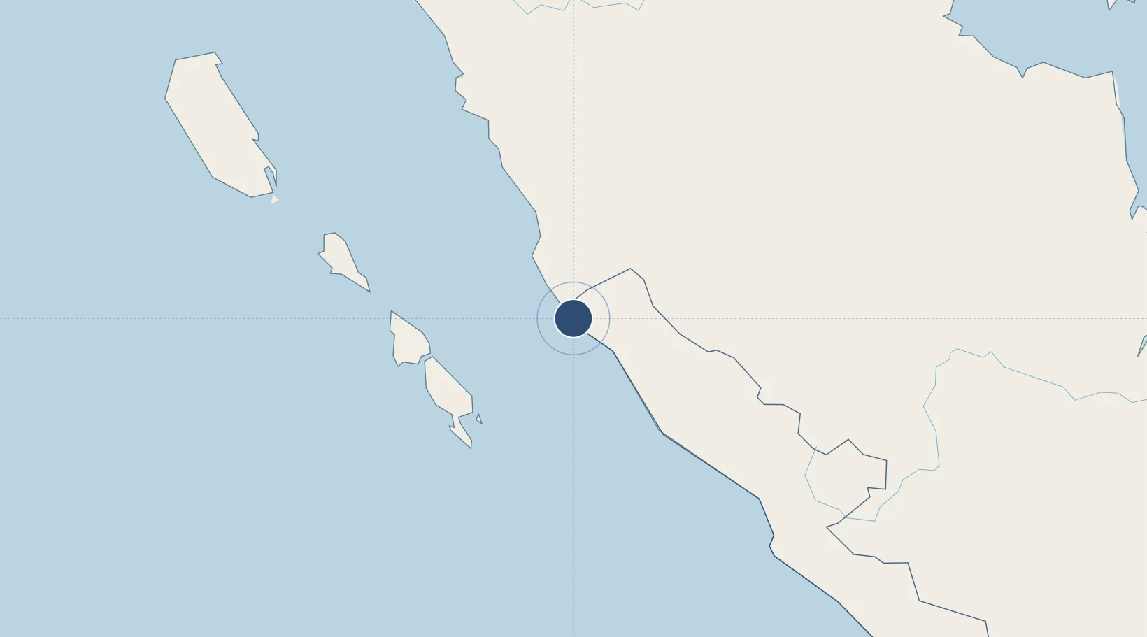
Location
Nearby Logistics Neighbours
Airports
- 1Departi Parbo Airport65 km
- 2Mentawai Airport162 km
- 3Muara Bungo Airport165 km
- 4Fatmawati Soekarno Airport202 km
- 5Tabing Airport203 km
Cities
- 1Muarabungo165 km
- 2Pelawan178 km
- 3Telukbayur189 km
- 4Padang190 km
- 5Sawahlunto211 km
Ports
- 1Bengkulu189 km
- 2Teluk Bayur189 km
- 3Jabung Batanghari Marine Terminal377 km
- 4Palembang412 km
- 5Sungaigerong419 km
Trade Zones
DatabookThe Record of Consolidated Knowledge
Indonesia beyond logistics?