Medium airport · Indonesia

Fatmawati Soekarno AirportWIPL
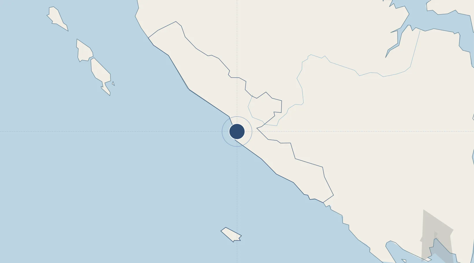
-3.8637°, 102.3390°
7,345 ft
Longest runway
1
Runways
50 ft
Elevation

Runway & Layout

Fatmawati Soekarno Airport runway & taxiway layout
Runway & taxiway layout — OpenStreetMap (ODbL) / OurAirports

Radio Frequencies

TWR
122.2 MHz
TWR AND APP COMBINE
OurAirports

Runways · 1

RunwayDimensions SurfaceTrue headingLit
13/31 7,345 × 98ft Asphalt 133°
OurAirports

Airport Specifications

IATA code
BKS
OurAirports
ICAO code
WIGG
OurAirports
Airport class
Medium airport
OurAirports
Scheduled service
Yes
OurAirports
Runway surface
Asphalt
OurAirports
Served city
Bengkulu
OurAirports

Location

Location of WIPL
Natural Earth 10m (public domain) · Bengkulu · WIPL · -3.86, 102.34GoogleOSMYandex

Nearby Logistics Neighbours

Airports
  1. 1Pendopo Airport183 km
  2. 2Muko Muko Airport202 km
  3. 3Departi Parbo Airport219 km
  4. 4Muara Bungo Airport259 km
  5. 5Sultan Mahmud Badaruddin II Airport283 km
Nearest neighbours — logibook spatial index (haversine) over the source coordinates
Cities
  1. 1Pelawan171 km
  2. 2Muarabungo268 km
  3. 3Palembang, Sumatra289 km
  4. 4Plaju, Sumatra290 km
  5. 5Jambi, Sumatra295 km
Nearest neighbours — logibook spatial index (haversine) over the source coordinates
Ports
  1. 1Bengkulu13 km
  2. 2Palembang287 km
  3. 3Sungaigerong294 km
  4. 4Muntok372 km
  5. 5Panjang375 km
Nearest neighbours — logibook spatial index (haversine) over the source coordinates
Trade Zones
  1. 1Tanjung Api-api Special Economic Zone321 km
  2. 2KEK Tanjung Lesung469 km
  3. 3Krakatau Industrial Estate - Cilegon471 km
  4. 4Wilmar Integrated Industrial Park481 km
  5. 5ModernCikande Industrial Estate513 km
Nearest neighbours — logibook spatial index (haversine) over the source coordinates
DatabookThe Record of Consolidated Knowledge
Indonesia beyond logistics?
Browse databook

All Sources

AirportsOurAirports
Public domain
Portsthe NGA World Port Index
Public domain (US gov)
LocationsUN/LOCODE
UN/LOCODE — free
Trade Zonesthe World Bank SEZ database
CC BY 4.0
Trade ZonesOpen Zone Map
CC BY
InfrastructureOpenStreetMap
ODbL 1.0
← Indonesia airports