Transport Functions
Multimodal
Hub Profile
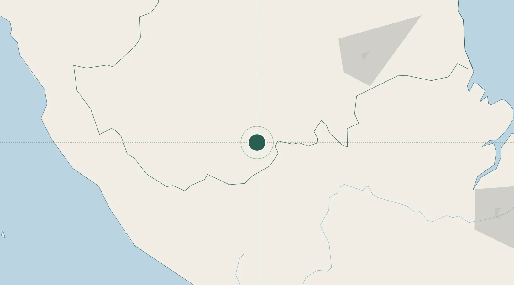
Place type
Populated place
Region
Jambi
Time zone
Asia/Jakarta
Elevation
50 m
Location
Nearby Logistics Neighbours
Cities
- 1Muarabungo118 km
- 2Jambi, Sumatra140 km
- 3Batuampar156 km
- 4Kampung Laut205 km
- 5Kuala Enok219 km
Ports
- 1Bengkulu165 km
- 2Jabung Batanghari Marine Terminal223 km
- 3Palembang241 km
- 4Sungaigerong249 km
- 5Muntok278 km
Airports
- 1Muara Bungo Airport107 km
- 2Sultan Thaha Airport134 km
- 3Departi Parbo Airport138 km
- 4Pendopo Airport168 km
- 5Fatmawati Soekarno Airport171 km
Trade Zones
- 1Tanjung Api-api Special Economic Zone238 km
- 2Karimun Free Trade Zone349 km
- 3Latrade Industrial Park404 km
- 4Batamindo Industrial Park409 km
- 5Panbil Industrial Estate411 km
DatabookThe Record of Consolidated Knowledge
Indonesia beyond logistics?