Channel & Berth Profile
Pilotage, Tugs & Services
Tug assistanceYES
Potable waterNO
Diesel bunkersNO
Facilities & Capabilities
Container—
Ro-Ro—
Liquid bulk—
Dry bulk—
Oil terminal—
Break bulk—
Dry dockNO
Repairs—
BunkeringNO
Rail link—
Dangerous cargo—
ISPS security—
Harbour Specifications
Harbour size
Very Small
Harbour type
Open Roadstead
Shelter
Poor
Water body
Natuna Sea; South China Sea; South Pacific Ocean
Overhead limit
Yes
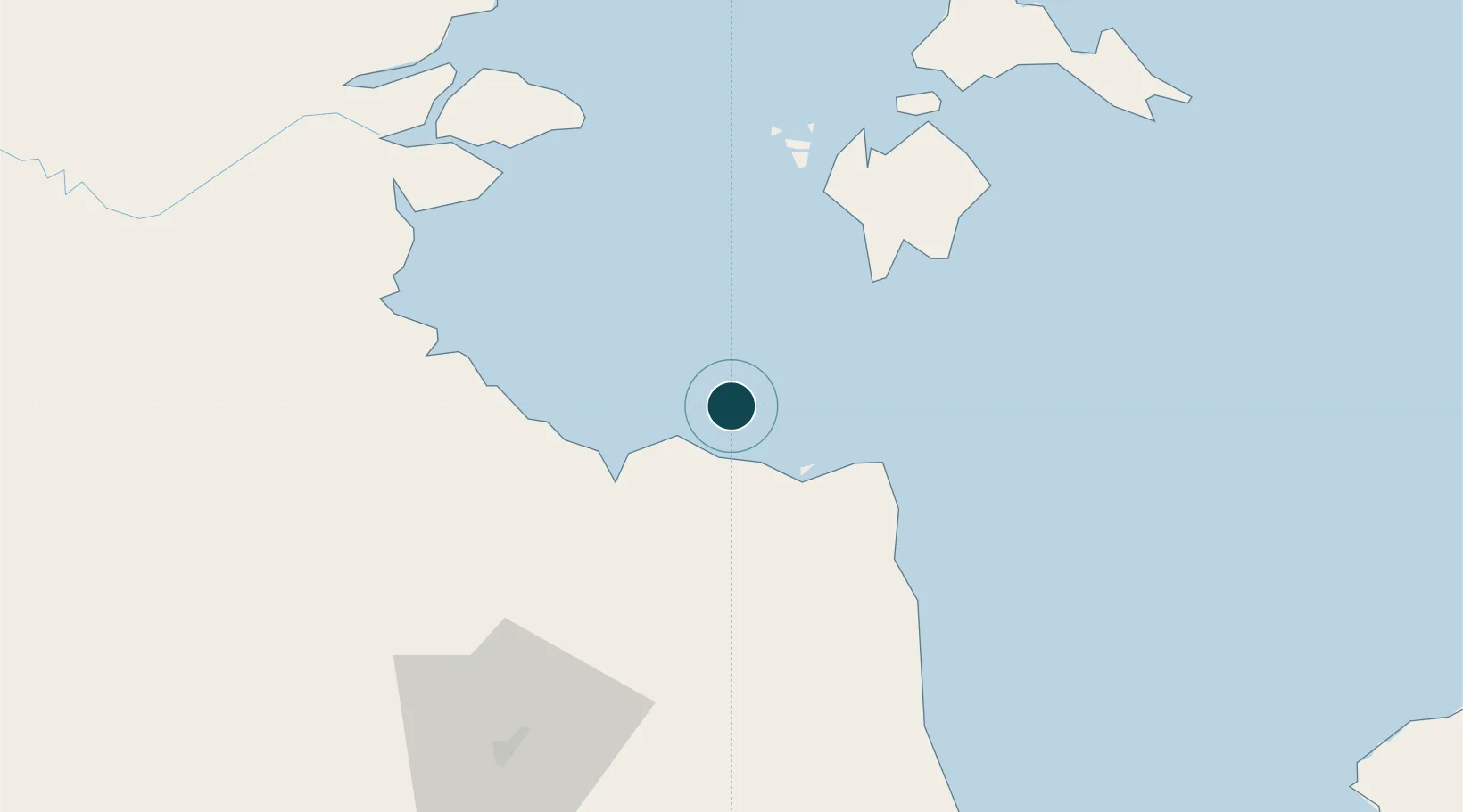
Location
Nearby Logistics Neighbours
Ports
- 1Dabo72 km
- 2Muntok177 km
- 3Kijang205 km
- 4Blinyu207 km
- 5Tanjungpinang208 km
Cities
- 1Muara Sabak21 km
- 2Tanjung Uban24 km
- 3Kampung Laut30 km
- 4Dabo, Singkep Isl71 km
- 5Jambi, Sumatra85 km
Airports
- 1Sultan Thaha Airport93 km
- 2Japura Airport203 km
- 3Raja Haji Fisabilillah International Airport211 km
- 4Muara Bungo Airport221 km
- 5Hang Nadim International Airport227 km
Trade Zones
- 1Tanjung Api-api Special Economic Zone185 km
- 2Karimun Free Trade Zone189 km
- 3KEK Galang Batang214 km
- 4Bintan Industrial Estate215 km
- 5Latrade Industrial Park219 km
DatabookThe Record of Consolidated Knowledge
Indonesia beyond logistics?