Free Trade Zone · Indonesia

Karimun Free Trade Zone Under Development
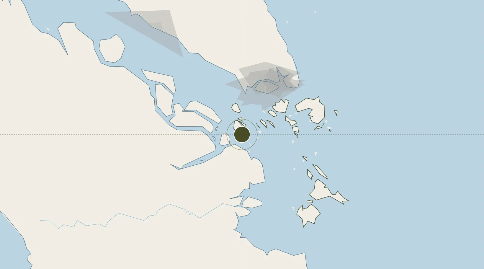
0.6765°, 103.4661°
9,666 ha
Zone area
34.3 km
Nearest port
83.5 km
Nearest airport

Gateway access

Nearest neighbours — logibook spatial index (haversine) over the source coordinates

Zone profile

Zone type
Free Trade Zone
Open Zone Map
Region
Kepulauan Riau
Open Zone Map
Status
Under Development
Open Zone Map
Management
Private
Open Zone Map
Operator
BP "Karimun Free Trade Zone"
Open Zone Map
Legal framework
Government Resolution No. 48 of 2007
Open Zone Map

Location

Location of ozm-2441
Natural Earth 10m (public domain) · Kepulauan Riau · ozm-2441 · 0.68, 103.47GoogleOSMYandex

Nearby Logistics Neighbours

Ports
  1. 1Tanjung Balai Karimun34 km
  2. 2Pulau Sebarok69 km
  3. 3Pulau Bukom70 km
  4. 4Sekupang71 km
  5. 5Pulau Sambu73 km
Nearest neighbours — logibook spatial index (haversine) over the source coordinates
Airports
  1. 1Tengah Air Base84 km
  2. 2Hang Nadim International Airport88 km
  3. 3Paya Lebar Air Base91 km
  4. 4Sembawang Air Base92 km
  5. 5Seletar Airport94 km
Nearest neighbours — logibook spatial index (haversine) over the source coordinates
Cities
  1. 1Tanjungbalai36 km
  2. 2Durian39 km
  3. 3Muara Bangkong47 km
  4. 4Nipah50 km
  5. 5Pulau Ayer Chawan71 km
Nearest neighbours — logibook spatial index (haversine) over the source coordinates
Trade Zones
  1. 1Latrade Industrial Park66 km
  2. 2West Point Maritime Industrial Park72 km
  3. 3Western Gate Development Flagship Zone74 km
  4. 4Batamindo Industrial Park75 km
  5. 5Tanjung Bin Free Industrial Zone, Johor75 km
Nearest neighbours — logibook spatial index (haversine) over the source coordinates
DatabookThe Record of Consolidated Knowledge
Indonesia beyond logistics?
Browse databook

All Sources

Trade ZonesOpen Zone Map
CC BY
Portsthe NGA World Port Index
Public domain (US gov)
AirportsOurAirports
Public domain
LocationsUN/LOCODE
UN/LOCODE — free
← Indonesia trade zones