Transport Functions
Rail
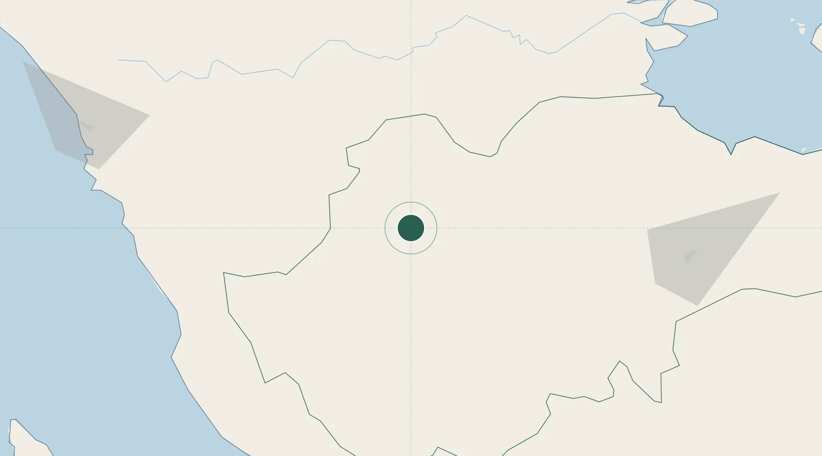
Hub Profile
Place type
Provincial seat
Region
Jambi
Population
21,243
Time zone
Asia/Jakarta
Elevation
53 m
Location
Nearby Logistics Neighbours
Cities
- 1Batuampar88 km
- 2Pelawan118 km
- 3Jambi, Sumatra172 km
- 4Sawahlunto173 km
- 5Kuala Enok176 km
Ports
- 1Teluk Bayur201 km
- 2Jabung Batanghari Marine Terminal225 km
- 3Bengkulu258 km
- 4Dabo293 km
- 5Lalang Marine Terminal295 km
Airports
- 1Muara Bungo Airport11 km
- 2Departi Parbo Airport100 km
- 3Japura Airport126 km
- 4Muko Muko Airport165 km
- 5Sultan Thaha Airport171 km
Trade Zones
DatabookThe Record of Consolidated Knowledge
Indonesia beyond logistics?