Channel & Berth Profile
Pilotage, Tugs & Services
Pilotage compulsoryYES
Pilotage availableYES
Pilotage advisableYES
Tug assistanceYES
Potable waterYES
MedicalYES
Facilities & Capabilities
ContainerYES
Ro-RoYES
Liquid bulkYES
Dry bulkYES
Oil terminal—
Break bulkYES
Dry dock—
RepairsNO
Bunkering—
Rail link—
Dangerous cargo—
ISPS security—
Harbour Specifications
Harbour size
Very Small
Harbour type
Coastal (Natural)
Shelter
Good
Water body
Makassar Strait; South Pacific Ocean
Tidal range
4 m
Overhead limit
Yes
Pilotage
Yes
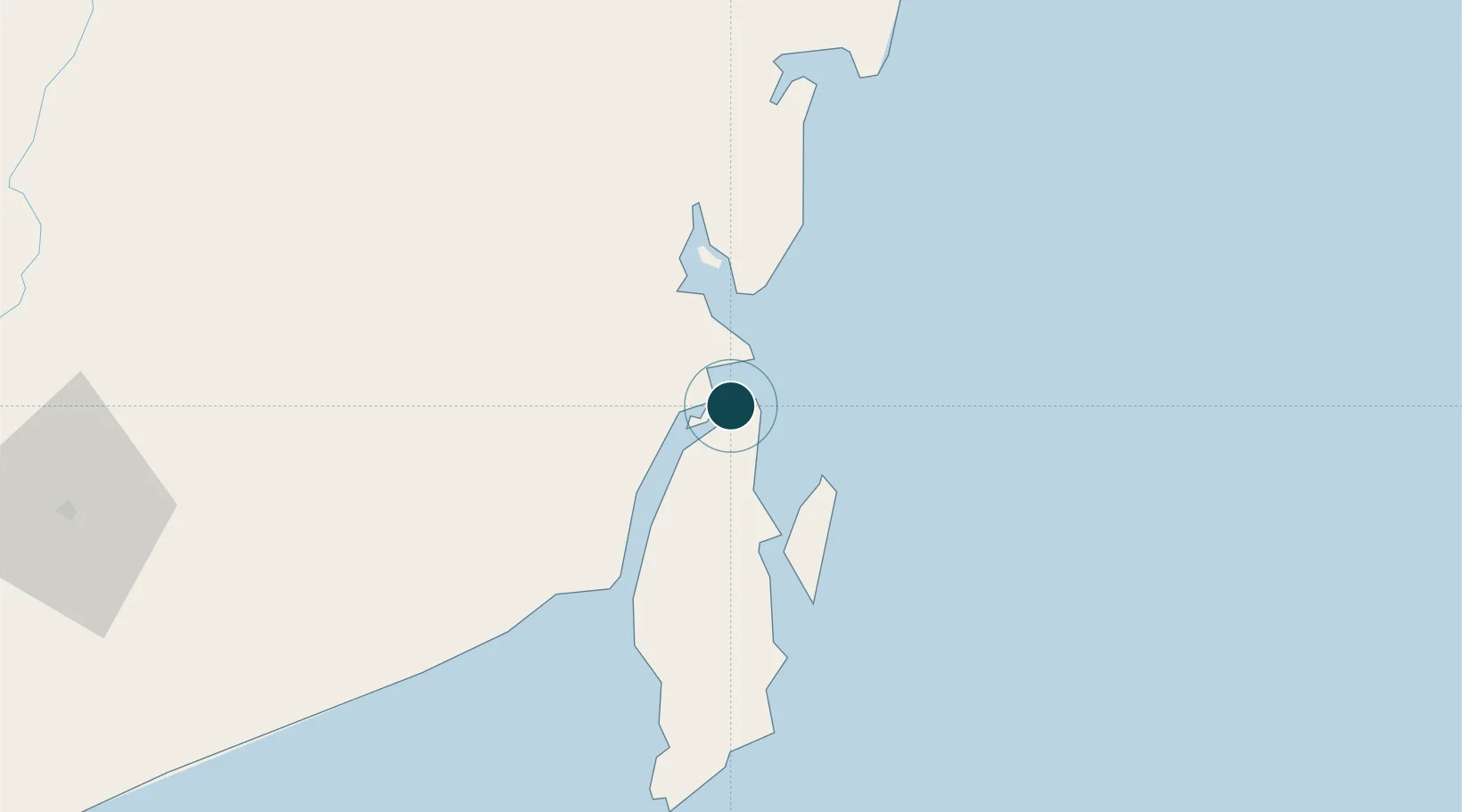
Location
Nearby Logistics Neighbours
Ports
- 1North Pulau Laut Coal Terminal8 km
- 2Stagen11 km
- 3Gunung Batu Besar69 km
- 4Tanah Merah158 km
- 5Banjarmasin182 km
Cities
- 1North Pulau Laut6 km
- 2Setagin8 km
- 3Tanjung Pemancingan8 km
- 4Pulau Laut9 km
- 5Tarjun15 km
Airports
Trade Zones
- 1Kariangau Industrial Estate229 km
- 2Kaltim Industrial Estate405 km
- 3Kawasan Industri Makassar419 km
- 4Delma Industrial Park420 km
- 5Terpadu Takalar Industrial Estate433 km
DatabookThe Record of Consolidated Knowledge
Indonesia beyond logistics?