Small airport · Indonesia

Bersujud AirportWAOC
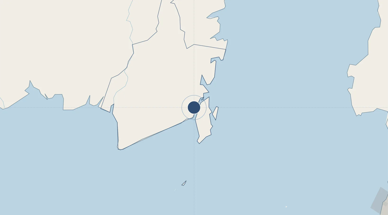
-3.4124°, 115.9950°
5,930 ft
Longest runway
1
Runways
3 ft
Elevation

Runway & Layout

Bersujud Airport runway & taxiway layout
Runway & taxiway layout — OpenStreetMap (ODbL) / OurAirports

Runways · 1

RunwayDimensions SurfaceTrue headingLit
09/27 5,930 × 98ft Asphalt 091°
OurAirports

Airport Specifications

IATA code
BTW
OurAirports
ICAO code
WAOC
OurAirports
Airport class
Small airport
OurAirports
Scheduled service
Yes
OurAirports
Runway surface
Asphalt
OurAirports
Served city
Batu Licin
OurAirports

Location

Location of WAOC
Natural Earth 10m (public domain) · Kalimantan Selatan · WAOC · -3.41, 116.00GoogleOSMYandex

Nearby Logistics Neighbours

Airports
  1. 1Gusti Syamsir Alam Airport23 km
  2. 2Syamsudin Noor International Airport137 km
  3. 3Warukin Airport147 km
  4. 4Sultan Aji Muhammad Sulaiman Sepinggan International Airport259 km
  5. 5Tjilik Riwut Airport263 km
Nearest neighbours — logibook spatial index (haversine) over the source coordinates
Cities
  1. 1Batulicin4 km
  2. 2Tarjun19 km
  3. 3Pulau Laut22 km
  4. 4Setagin24 km
  5. 5North Pulau Laut37 km
Nearest neighbours — logibook spatial index (haversine) over the source coordinates
Ports
  1. 1Stagen21 km
  2. 2Kota Baru32 km
  3. 3North Pulau Laut Coal Terminal40 km
  4. 4Gunung Batu Besar95 km
  5. 5Banjarmasin157 km
Nearest neighbours — logibook spatial index (haversine) over the source coordinates
Trade Zones
  1. 1Kariangau Industrial Estate256 km
  2. 2Kawasan Industri Makassar432 km
  3. 3Kaltim Industrial Estate432 km
  4. 4Delma Industrial Park442 km
  5. 5Terpadu Takalar Industrial Estate443 km
Nearest neighbours — logibook spatial index (haversine) over the source coordinates
DatabookThe Record of Consolidated Knowledge
Indonesia beyond logistics?
Browse databook

All Sources

AirportsOurAirports
Public domain
Portsthe NGA World Port Index
Public domain (US gov)
LocationsUN/LOCODE
UN/LOCODE — free
Trade Zonesthe World Bank SEZ database
CC BY 4.0
Trade ZonesOpen Zone Map
CC BY
InfrastructureOpenStreetMap
ODbL 1.0
← Indonesia airports