Small airport · Indonesia

Gusti Syamsir Alam AirportWAOK
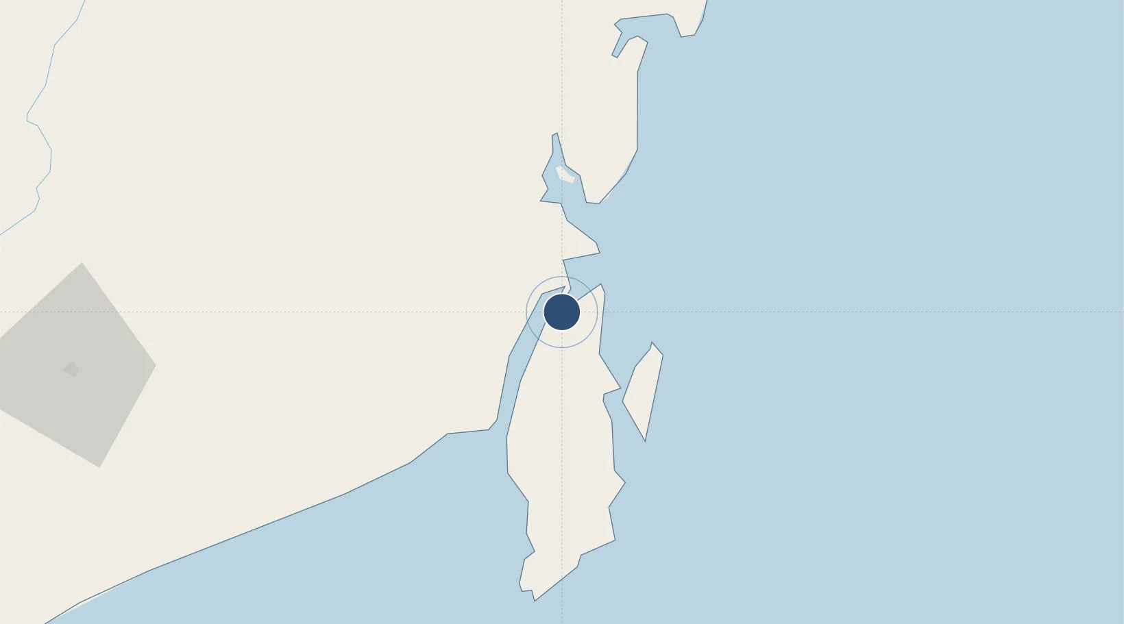
-3.2948°, 116.1638°
5,413 ft
Longest runway
1
Runways
4 ft
Elevation

Runway & Layout

Gusti Syamsir Alam Airport runway & taxiway layout
Runway & taxiway layout — OpenStreetMap (ODbL) / OurAirports

Runways · 1

RunwayDimensions SurfaceTrue headingLit
15/33 5,413 × 98ft Asphalt
OurAirports

Airport Specifications

IATA code
KBU
OurAirports
ICAO code
WAOK
OurAirports
Airport class
Small airport
OurAirports
Scheduled service
Yes
OurAirports
Runway surface
Asphalt
OurAirports
Served city
Stagen
OurAirports

Location

Location of WAOK
Natural Earth 10m (public domain) · Kalimantan Selatan · WAOK · -3.29, 116.16GoogleOSMYandex

Nearby Logistics Neighbours

Airports
  1. 1Bersujud Airport23 km
  2. 2Warukin Airport145 km
  3. 3Syamsudin Noor International Airport157 km
  4. 4Sultan Aji Muhammad Sulaiman Sepinggan International Airport240 km
  5. 5Tjilik Riwut Airport274 km
Nearest neighbours — logibook spatial index (haversine) over the source coordinates
Cities
  1. 1Setagin1 km
  2. 2Pulau Laut2 km
  3. 3Tarjun10 km
  4. 4North Pulau Laut14 km
  5. 5Tanjung Pemancingan17 km
Nearest neighbours — logibook spatial index (haversine) over the source coordinates
Ports
  1. 1Stagen2 km
  2. 2Kota Baru9 km
  3. 3North Pulau Laut Coal Terminal17 km
  4. 4Gunung Batu Besar77 km
  5. 5Tanah Merah164 km
Nearest neighbours — logibook spatial index (haversine) over the source coordinates
Trade Zones
  1. 1Kariangau Industrial Estate237 km
  2. 2Kaltim Industrial Estate413 km
  3. 3Kawasan Industri Makassar421 km
  4. 4Delma Industrial Park427 km
  5. 5Terpadu Takalar Industrial Estate434 km
Nearest neighbours — logibook spatial index (haversine) over the source coordinates
DatabookThe Record of Consolidated Knowledge
Indonesia beyond logistics?
Browse databook

All Sources

AirportsOurAirports
Public domain
Portsthe NGA World Port Index
Public domain (US gov)
LocationsUN/LOCODE
UN/LOCODE — free
Trade Zonesthe World Bank SEZ database
CC BY 4.0
Trade ZonesOpen Zone Map
CC BY
InfrastructureOpenStreetMap
ODbL 1.0
← Indonesia airports