Transport Functions
Port
Road
Airport
Hub Profile
Place type
Populated place
Region
South Kalimantan
Time zone
Asia/Makassar
Elevation
8 m
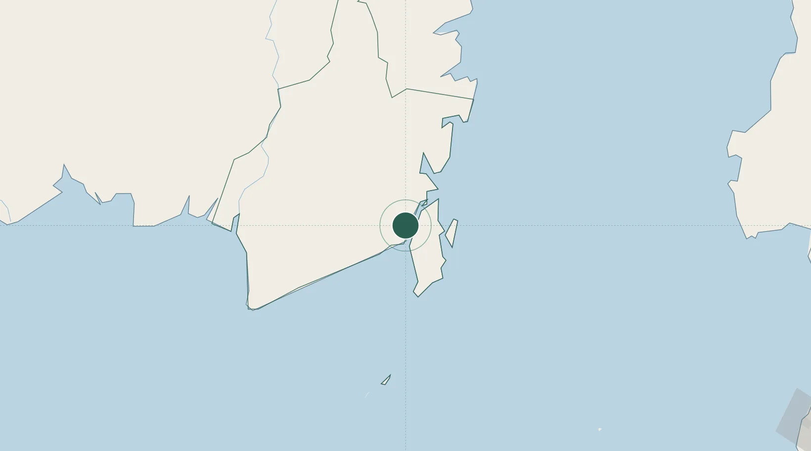
Location
Nearby Logistics Neighbours
Cities
- 1Tarjun23 km
- 2Pulau Laut26 km
- 3Setagin28 km
- 4North Pulau Laut41 km
- 5Sebuku Island43 km
Ports
- 1Stagen25 km
- 2Kota Baru35 km
- 3North Pulau Laut Coal Terminal43 km
- 4Gunung Batu Besar99 km
- 5Banjarmasin156 km
Airports
Trade Zones
- 1Kariangau Industrial Estate260 km
- 2Kawasan Industri Makassar431 km
- 3Kaltim Industrial Estate437 km
- 4Terpadu Takalar Industrial Estate442 km
- 5Delma Industrial Park446 km
DatabookThe Record of Consolidated Knowledge
Indonesia beyond logistics?