Channel & Berth Profile
Facilities & Capabilities
Container—
Ro-Ro—
Liquid bulk—
Dry bulk—
Oil terminal—
Break bulk—
Dry dock—
RepairsNO
Bunkering—
Rail link—
Dangerous cargo—
ISPS security—
Harbour Specifications
Harbour size
Very Small
Harbour type
River (Natural)
Shelter
Good
Water body
Makassar Strait; South Pacific Ocean
Tidal range
1 m
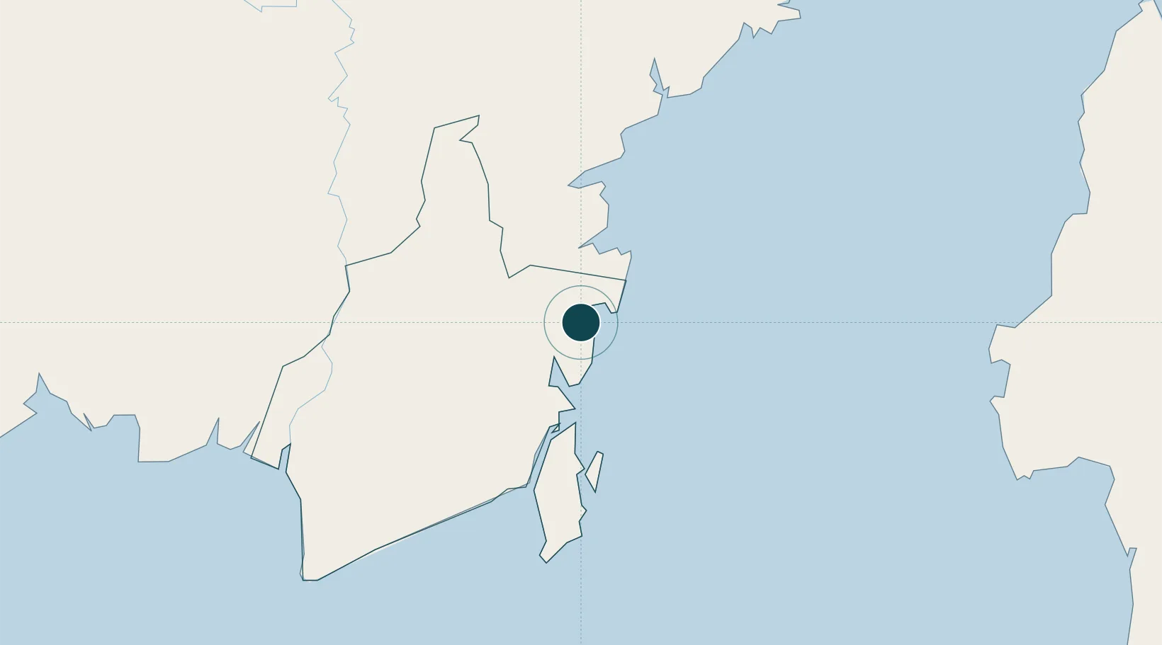
Location
Nearby Logistics Neighbours
Ports
- 1North Pulau Laut Coal Terminal65 km
- 2Kota Baru69 km
- 3Stagen78 km
- 4Tanah Merah90 km
- 5Lawi Lawi Oil Terminal140 km
Cities
- 1Tanjung Pemancingan63 km
- 2North Pulau Laut67 km
- 3Setagin76 km
- 4Pulau Laut76 km
- 5Tarjun76 km
Airports
Trade Zones
DatabookThe Record of Consolidated Knowledge
Indonesia beyond logistics?