Medium airport · Indonesia
Tjilik Riwut AirportWAGG
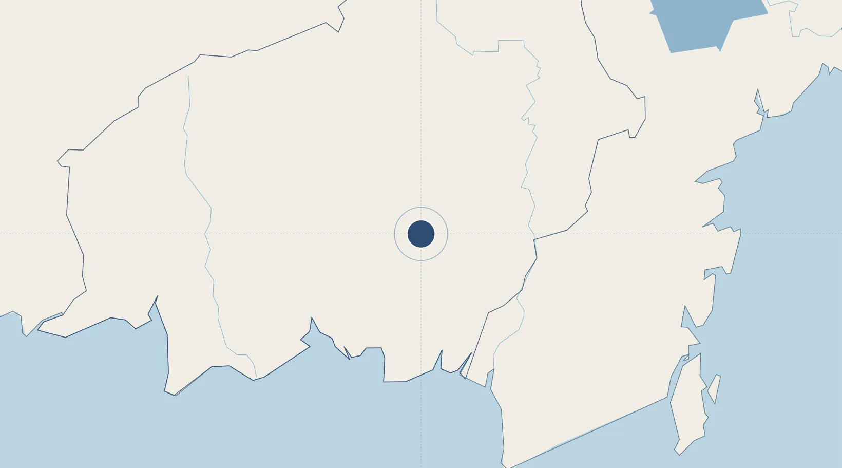
-2.2271°, 113.9434°
8,202 ft
Longest runway
1
Runways
82 ft
Elevation
Runway & Layout

Radio Frequencies
ATIS
127 MHz
TWR
122.4 MHz
Navaids
FK NDB Palangkaraya 250 kHz
PKY VOR-DME Tjilik Riwut 114.30 MHz
Runways · 1
| Runway | Dimensions | Surface | True heading | Lit |
|---|---|---|---|---|
| 16/34 | 8,202 × 148ft | Asphalt | 159° | ✓ |
Airport Specifications
IATA code
PKY
ICAO code
WAGG
Airport class
Medium airport
Scheduled service
Yes
Runway surface
Asphalt
Served city
Palangkaraya
Location
Nearby Logistics Neighbours
Airports
- 1Sampit (H.Asan) Airport112 km
- 2Tumbang Samba Airport128 km
- 3Syamsudin Noor International Airport163 km
- 4Warukin Airport166 km
- 5Haji Muhammad Sidik Airport173 km
Cities
- 1Buntok112 km
- 2Marabahan124 km
- 3Banjarmasin142 km
- 4Bagendang165 km
- 5Taboneo170 km
Ports
- 1Sampit110 km
- 2Banjarmasin142 km
- 3Tanah Merah251 km
- 4Kumai254 km
- 5Gunung Batu Besar265 km
Trade Zones
- 1Kariangau Industrial Estate340 km
- 2Delma Industrial Park413 km
- 3Kaltim Industrial Estate475 km
- 4Muara Wahau Industrial Park497 km
- 5Tuban Industrial Estate555 km
DatabookThe Record of Consolidated Knowledge
Indonesia beyond logistics?