UN/LOCODE hub · Indonesia
IDIAM

Asam Asam

-3.9000°, 115.1000°
1
Transport functions

Transport Functions

Multimodal
UN/LOCODE

Hub Profile

Region
KS
GeoNames

Location

Location of IDIAM
Natural Earth 10m (public domain) · KS · IDIAM · -3.90, 115.10GoogleOSMYandex

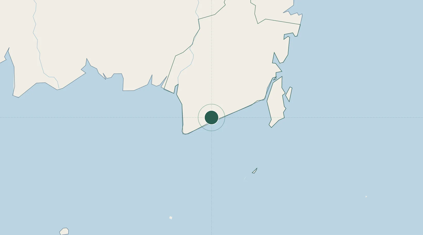
Nearby Logistics Neighbours

Cities
  1. 1Jorong Anchorage32 km
  2. 2Taboneo80 km
  3. 3Banjarmasin86 km
  4. 4Marabahan108 km
  5. 5Batulicin110 km
Nearest neighbours — logibook spatial index (haversine) over the source coordinates
Ports
  1. 1Banjarmasin85 km
  2. 2Stagen134 km
  3. 3Kota Baru144 km
  4. 4North Pulau Laut Coal Terminal153 km
  5. 5Gunung Batu Besar195 km
Nearest neighbours — logibook spatial index (haversine) over the source coordinates
Airports
  1. 1Syamsudin Noor International Airport64 km
  2. 2Bersujud Airport113 km
  3. 3Gusti Syamsir Alam Airport136 km
  4. 4Warukin Airport191 km
  5. 5Tjilik Riwut Airport226 km
Nearest neighbours — logibook spatial index (haversine) over the source coordinates
Trade Zones
  1. 1Kariangau Industrial Estate350 km
  2. 2Java Integrated Industrial Estate449 km
  3. 3Maspion Industrial Estate452 km
  4. 4Gresik Industrial Estate454 km
  5. 5Pulahan Seruai Industrial Estate458 km
Nearest neighbours — logibook spatial index (haversine) over the source coordinates
DatabookThe Record of Consolidated Knowledge
Indonesia beyond logistics?
Browse databook

All Sources

LocationsUN/LOCODE
UN/LOCODE — free
Portsthe NGA World Port Index
Public domain (US gov)
AirportsOurAirports
Public domain
Trade Zonesthe World Bank SEZ database
CC BY 4.0
Trade ZonesOpen Zone Map
CC BY
← Indonesia locations