Channel & Berth Profile
Pilotage, Tugs & Services
Pilotage advisableYES
Potable waterYES
MedicalYES
Facilities & Capabilities
Container—
Ro-Ro—
Liquid bulk—
Dry bulk—
Oil terminal—
Break bulk—
Dry dock—
RepairsNO
Bunkering—
Rail link—
Dangerous cargo—
ISPS security—
Harbour Specifications
Harbour size
Very Small
Harbour type
Coastal (Natural)
Shelter
Fair
Water body
Makassar Strait; South Pacific Ocean
Tidal range
4 m
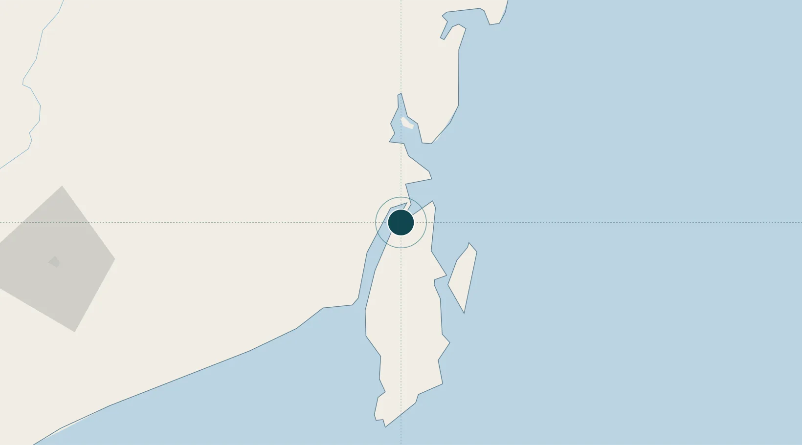
Location
Nearby Logistics Neighbours
Ports
- 1Kota Baru11 km
- 2North Pulau Laut Coal Terminal19 km
- 3Gunung Batu Besar78 km
- 4Tanah Merah165 km
- 5Banjarmasin174 km
Cities
- 1Pulau Laut2 km
- 2Tarjun8 km
- 3North Pulau Laut16 km
- 4Tanjung Pemancingan18 km
- 5Batulicin25 km
Airports
Trade Zones
- 1Kariangau Industrial Estate238 km
- 2Kaltim Industrial Estate414 km
- 3Kawasan Industri Makassar422 km
- 4Delma Industrial Park428 km
- 5Terpadu Takalar Industrial Estate435 km
DatabookThe Record of Consolidated Knowledge
Indonesia beyond logistics?