Large airport · Indonesia
Syamsudin Noor International AirportWAOO
-3.4401°, 114.7612°
8,202 ft
Longest runway
1
Runways
66 ft
Elevation
Runway & Layout

Radio Frequencies
ATIS
128.05 MHz
TWR
118.4 MHz
ULIN TWR
APP
126.5 MHz
BANJARMASIN APP
INFO
819.8 MHz
BANJARMASIN INFO
Navaids
BDM VOR-DME Banjarmasin 112.10 MHz
OU NDB Banjarmasin 390 kHz
Runways · 1
| Runway | Dimensions | Surface | True heading | Lit |
|---|---|---|---|---|
| 10/28 | 8,202 × 148ft | Asphalt | 100° | ✓ |
Airport Specifications
IATA code
BDJ
ICAO code
WAOO
Airport class
Large airport
Scheduled service
Yes
Runway surface
Asphalt
Served city
Banjarbaru
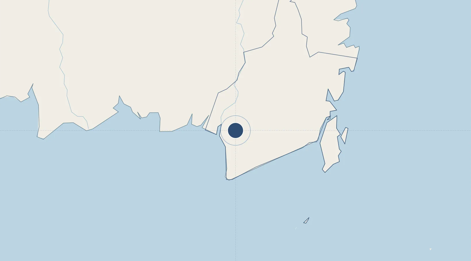
Location
Nearby Logistics Neighbours
Airports
- 1Bersujud Airport137 km
- 2Warukin Airport155 km
- 3Gusti Syamsir Alam Airport157 km
- 4Tjilik Riwut Airport163 km
- 5Sampit (H.Asan) Airport224 km
Cities
- 1Banjarmasin25 km
- 2Taboneo47 km
- 3Marabahan51 km
- 4Asam Asam64 km
- 5Jorong Anchorage91 km
Ports
- 1Banjarmasin23 km
- 2Stagen155 km
- 3Kota Baru163 km
- 4North Pulau Laut Coal Terminal171 km
- 5Gunung Batu Besar194 km
Trade Zones
- 1Kariangau Industrial Estate334 km
- 2Java Integrated Industrial Estate470 km
- 3Maspion Industrial Estate474 km
- 4Gresik Industrial Estate476 km
- 5Delma Industrial Park479 km
DatabookThe Record of Consolidated Knowledge
Indonesia beyond logistics?