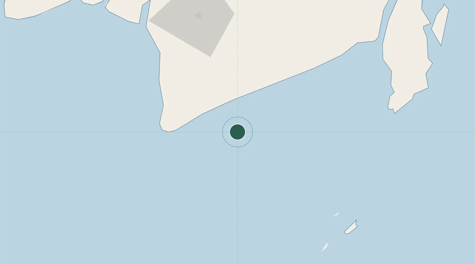
UN/LOCODE hub · Indonesia
IDJOR

Jorong Anchorage

-4.1833°, 115.1000°
1
Transport functions

Transport Functions

Port
UN/LOCODE

Location

Location of IDJOR
Natural Earth 10m (public domain) · Kalimantan Selatan · IDJOR · -4.18, 115.10GoogleOSMYandex

Nearby Logistics Neighbours

Cities
  1. 1Asam Asam32 km
  2. 2Taboneo94 km
  3. 3Banjarmasin111 km
  4. 4Batulicin128 km
  5. 5Marabahan139 km
Nearest neighbours — logibook spatial index (haversine) over the source coordinates
Ports
  1. 1Banjarmasin111 km
  2. 2Stagen152 km
  3. 3Kota Baru163 km
  4. 4North Pulau Laut Coal Terminal171 km
  5. 5Gunung Batu Besar219 km
Nearest neighbours — logibook spatial index (haversine) over the source coordinates
Airports
  1. 1Syamsudin Noor International Airport91 km
  2. 2Bersujud Airport131 km
  3. 3Gusti Syamsir Alam Airport154 km
  4. 4Warukin Airport222 km
  5. 5Tjilik Riwut Airport253 km
Nearest neighbours — logibook spatial index (haversine) over the source coordinates
Trade Zones
  1. 1Kariangau Industrial Estate377 km
  2. 2Java Integrated Industrial Estate425 km
  3. 3Maspion Industrial Estate428 km
  4. 4Gresik Industrial Estate429 km
  5. 5Pulahan Seruai Industrial Estate433 km
Nearest neighbours — logibook spatial index (haversine) over the source coordinates
DatabookThe Record of Consolidated Knowledge
Indonesia beyond logistics?
Browse databook

All Sources

LocationsUN/LOCODE
UN/LOCODE — free
Portsthe NGA World Port Index
Public domain (US gov)
AirportsOurAirports
Public domain
Trade Zonesthe World Bank SEZ database
CC BY 4.0
Trade ZonesOpen Zone Map
CC BY
← Indonesia locations