Channel & Berth Profile
Pilotage, Tugs & Services
Pilotage compulsoryYES
Tug assistanceYES
Potable waterNO
MedicalYES
Garbage disposalYES
Facilities & Capabilities
Container—
Ro-Ro—
Liquid bulk—
Dry bulk—
Oil terminal—
Break bulk—
Dry dock—
Repairs—
BunkeringNO
Rail link—
Dangerous cargo—
ISPS security—
Harbour Specifications
Harbour size
Very Small
Harbour type
Open Roadstead
Shelter
Poor
Water body
Makassar Strait; South Pacific Ocean
Tidal range
2 m
Overhead limit
Yes
Pilotage
Yes
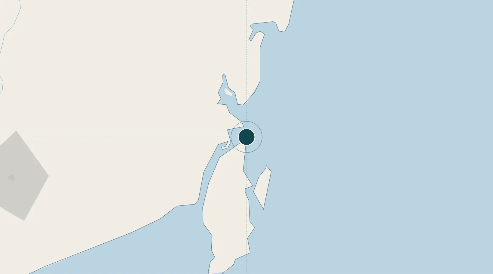
Location
Nearby Logistics Neighbours
Ports
- 1Kota Baru8 km
- 2Stagen19 km
- 3Gunung Batu Besar65 km
- 4Tanah Merah154 km
- 5Banjarmasin189 km
Cities
- 1Tanjung Pemancingan3 km
- 2Setagin16 km
- 3Pulau Laut18 km
- 4Tarjun23 km
- 5Sebuku Island35 km
Airports
Trade Zones
- 1Kariangau Industrial Estate223 km
- 2Kaltim Industrial Estate399 km
- 3Kawasan Industri Makassar415 km
- 4Delma Industrial Park416 km
- 5Terpadu Takalar Industrial Estate429 km
DatabookThe Record of Consolidated Knowledge
Indonesia beyond logistics?